Slievenenee Mountain
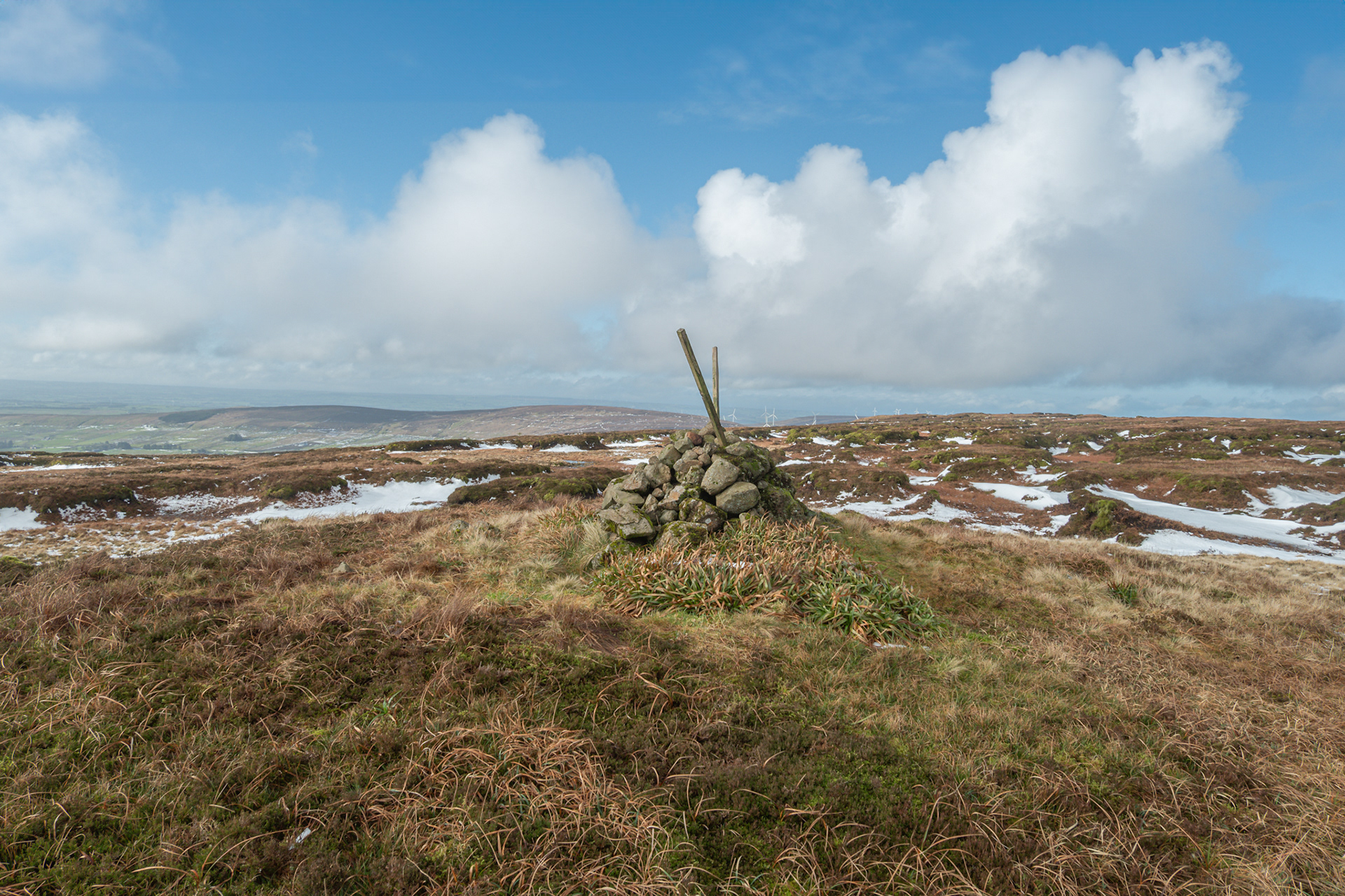
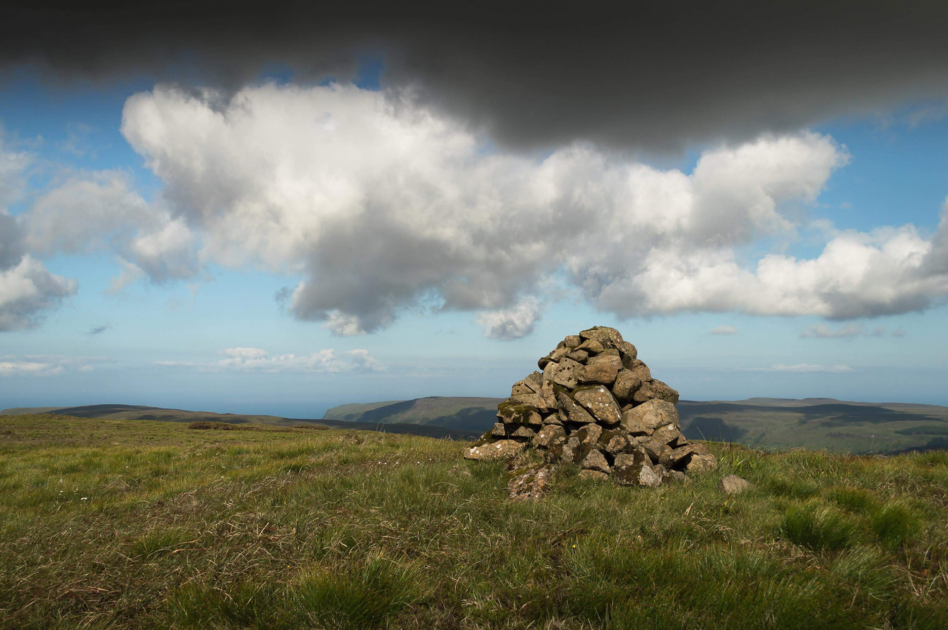
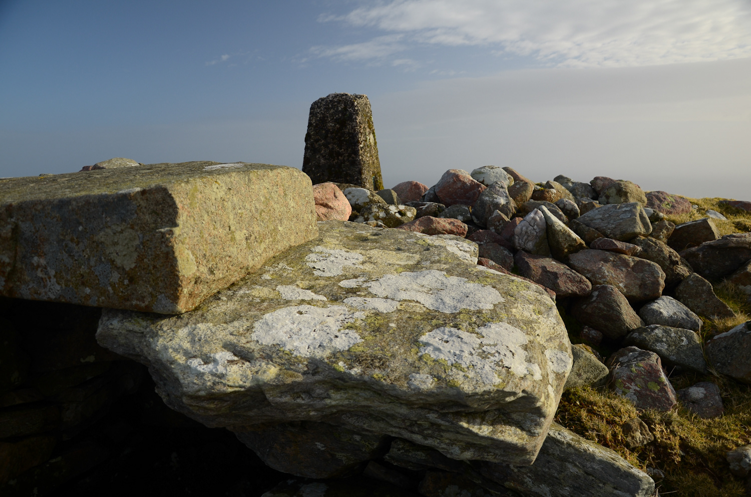
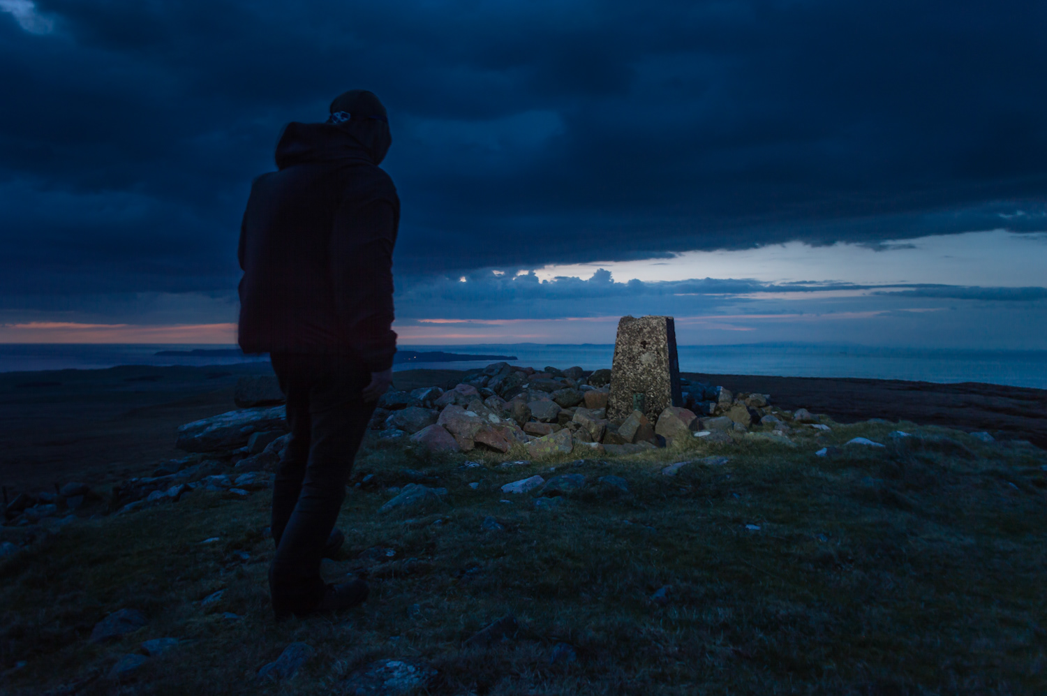
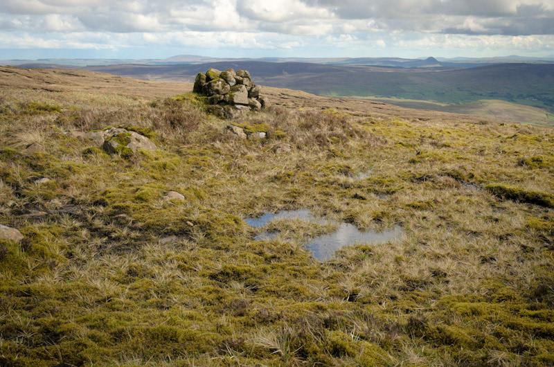
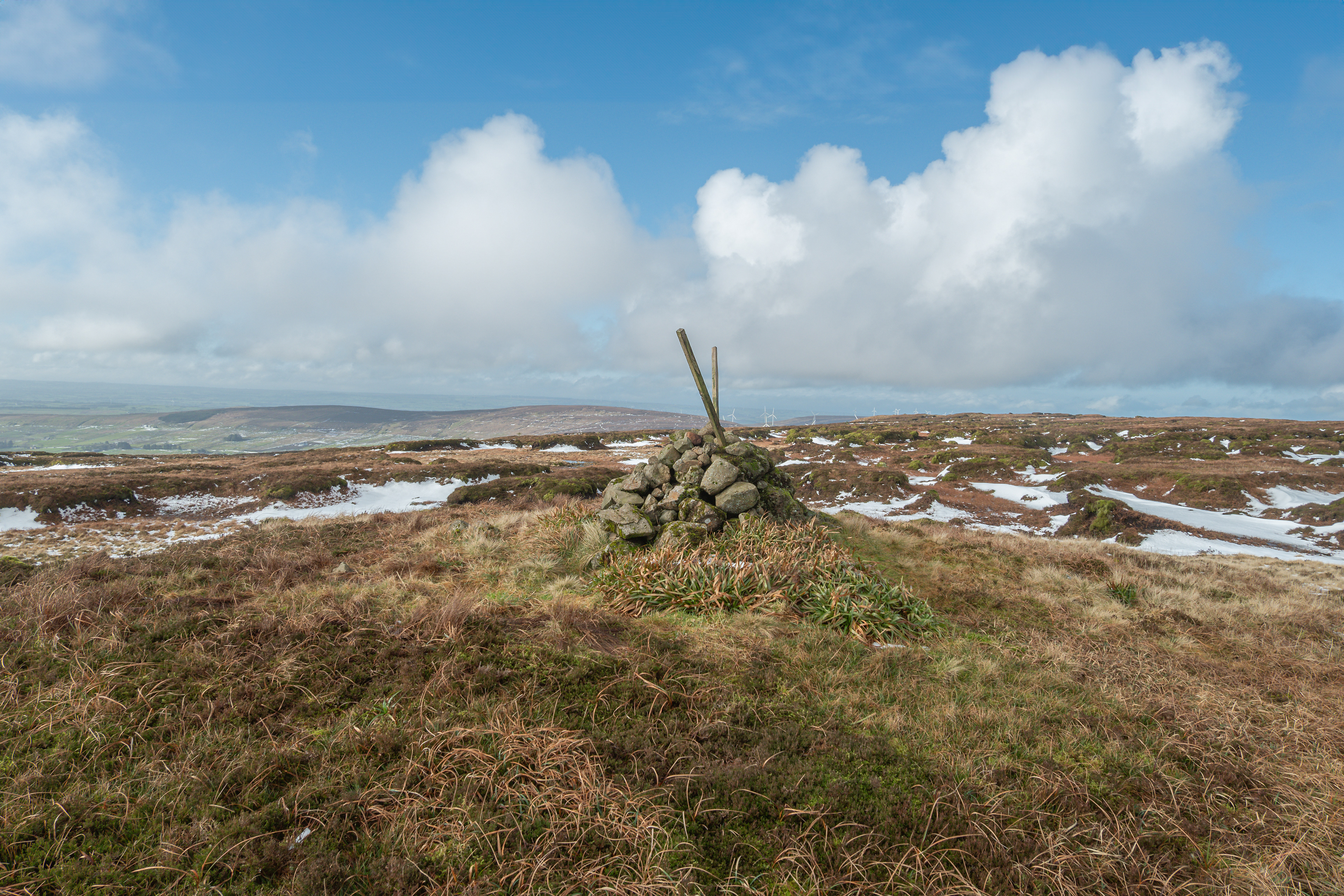
The summit marker on Slievenanee used to be a stick. Now it's just a few stones. That's the sort of detail that only matters if you've been here before, if you remember what was standing where the stones are now, and if you've thought at all about what happens to things left on a plateau for long enough that the weather gets to work on them properly. The stick is gone. Weather took it. Time took it. The mountain took it back, the way it takes back everything eventually if you leave it up here long enough without maintenance or care or any particular reason to keep it standing.
At 543 metres Slievenanee qualifies as the last of the Arderins, the fourth highest point in County Antrim, though that designation has never seemed to matter much to the mountain itself. Trostan at 550 metres holds that position with more obvious authority, a bulk and presence that announces itself from half the county on a clear day. Slievenanee exists slightly outside that hierarchy, present but not insistent, the kind of summit that demands you actually reach it before you understand why it's worth the reaching. From the Old Cushendun Road the approach takes twenty-five minutes, steady and unremarkable, bog and heather the whole way, nothing dramatic in the ascent, nothing that catches your attention except the understanding that you're climbing something that most people never bother with.
Most people never bother with it because most people never encounter it when researching the area. The isolation up here is absolute in a way that the higher peaks don't quite manage. Trostan gets walked. Fair Head draws crowds. Slemish has its traditions and its stories and its Saint Patrick's Day pilgrims. Slievenanee sits between the famous places and gets passed through by people heading somewhere else, or gets climbed by walkers specific enough in their intentions to come here deliberately rather than arriving by accident on a route that happened to include it. You don't meet anyone up here. That's not hyperbole. It's rare enough to encounter another walker on Slievenanee that when it happens it becomes the sort of thing you mention afterwards, the surprise of finding that someone else had the same idea on the same day.
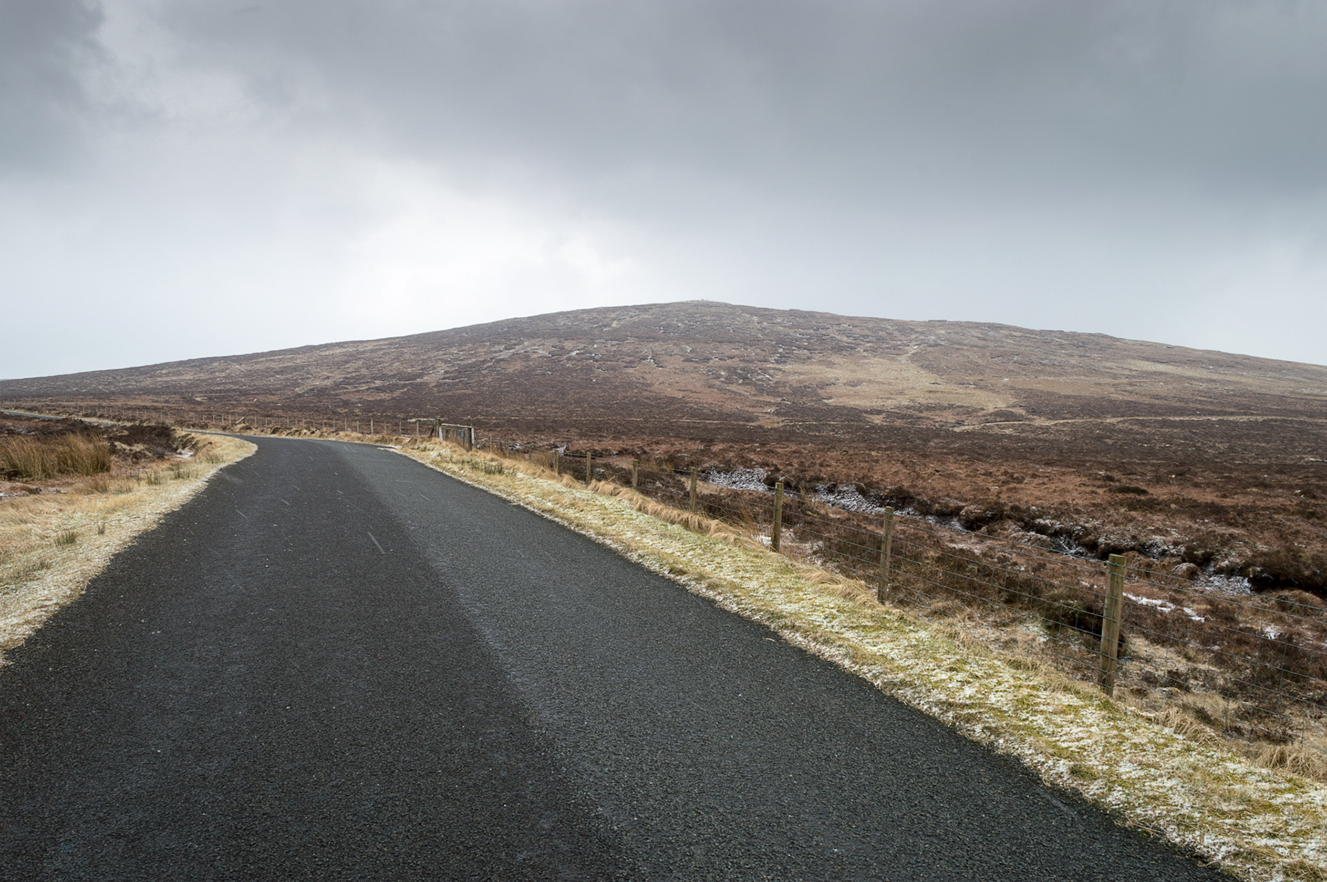
The best approach is from Trostan, and that choice changes what the walk actually is. Coming direct from Old Cushendun Road you climb and reach the summit and turn around again, one peak isolated from everything else, a job completed and done with. Coming from Trostan you're already at height, you're moving along connected high ground, and Slievenanee appears as a continuation of something larger rather than as a destination in its own right. More importantly, coming that way the views open out toward Slemish as you walk, the famous cone rising from the farmland below in ways that the direct approach never quite manages. Slemish pulls your eye. It organises the landscape in a way that nothing else does from up here. Most of the views from Antrim summits are views across plateau and moorland and other summits, a geometry of high ground that only makes sense if you're already standing on high ground yourself. Slemish is different. It's a shape. It's singular. It rises alone the way Slievenanee never quite does, and from up here on this plateau, watching the cone emerge as you walk the ridge between Trostan and Slievenanee, the contrast is everything.
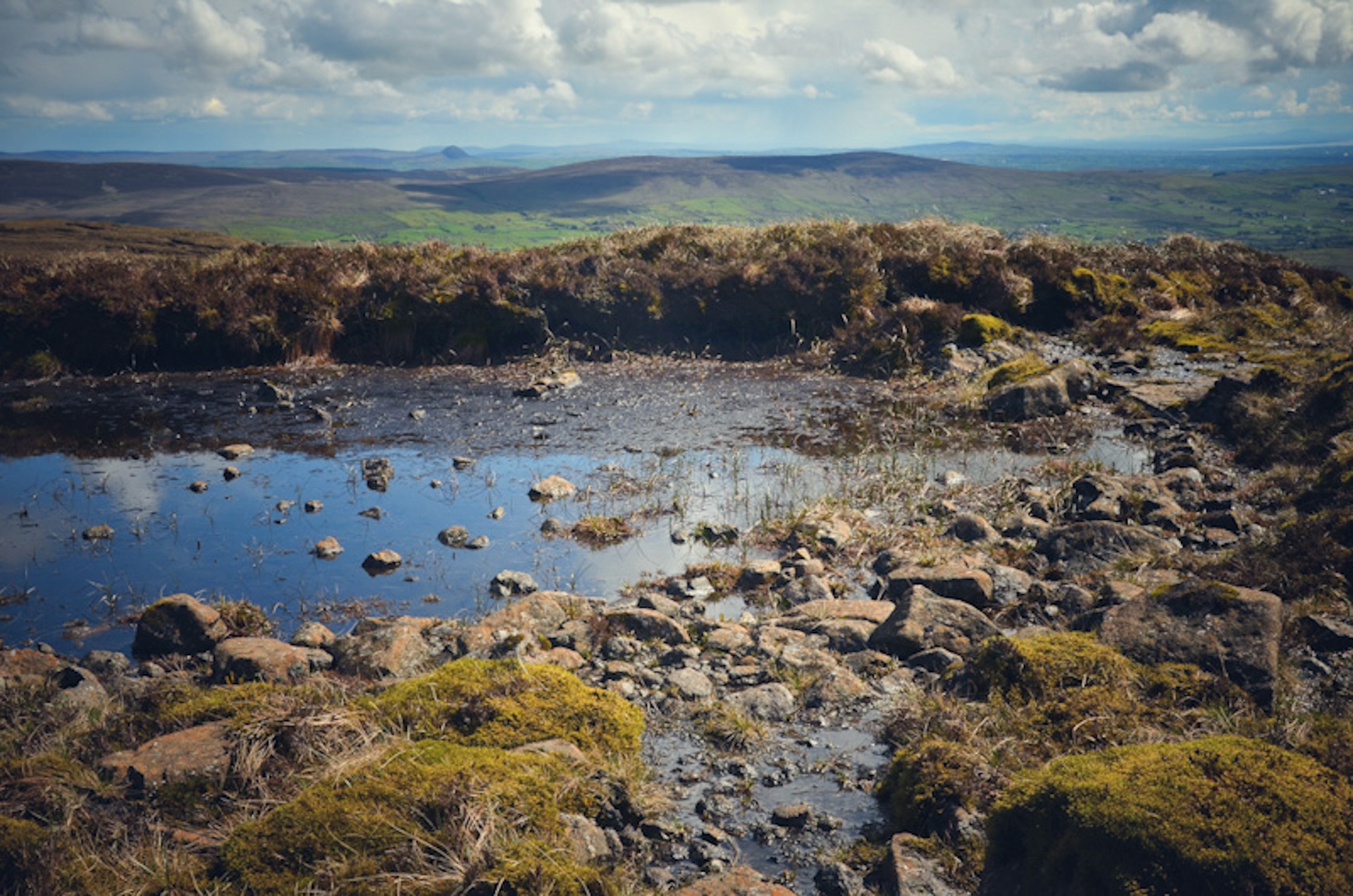
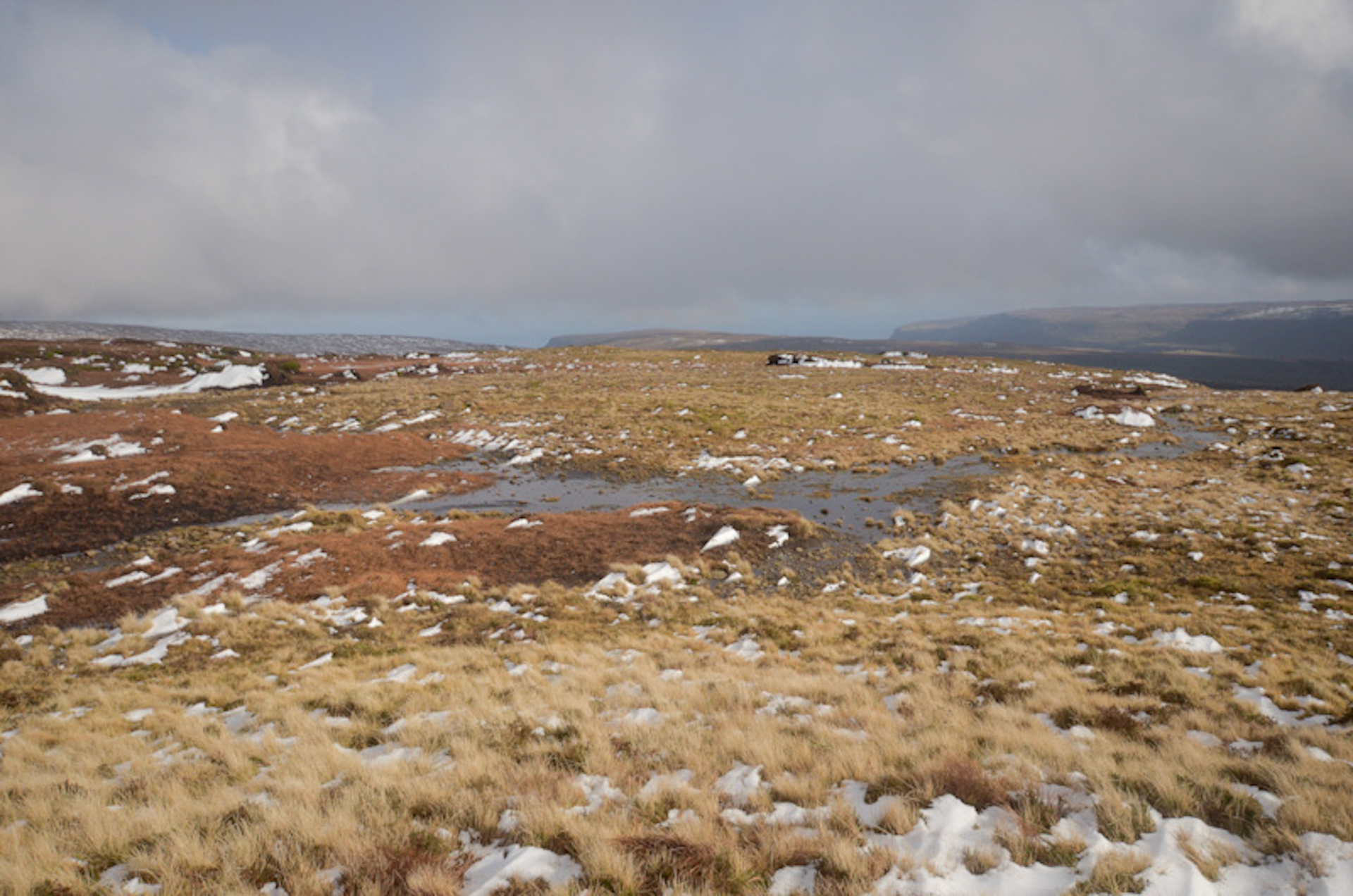
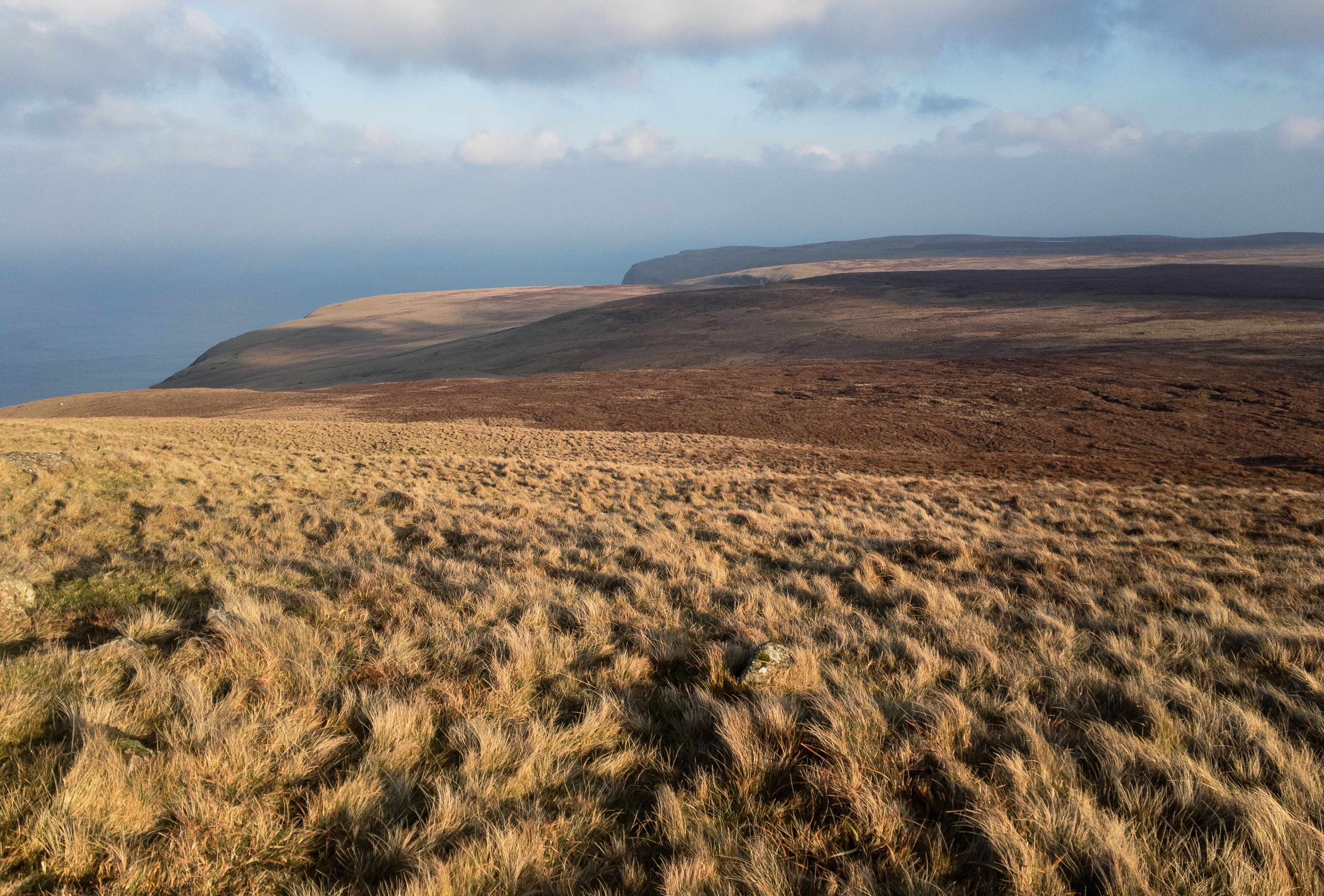
The ground underfoot is bog and heather, the same ground that makes up most of this plateau, the same weather that works on it all year. Antrim hills get the same weather regardless of which one you're standing on. Wind comes across from the west and takes what it's going to take. Rain moves in off the sea and falls until it stops falling. The light does what maritime light does, unstable and moving, here and then gone and then changing into something else before you've had time to adjust. None of that distinguishes Slievenanee from anywhere else on this high ground. The bog moves under your boots the same way it does on Trostan or Slieveanorra. The heather resists the same. The wind carries the same indifference. What distinguishes Slievenanee is precisely the absence of distinction, the way it refuses to announce itself as anything in particular, the way it simply is what it is without apology or drama or any particular effort to make itself remarkable.
That's where the summit marker comes in. Once it was a stick, something planted deliberately, something that said this is the point, this is the highest ground, this matters enough to mark. The stick is gone now. Weather and time have broken it down to stones, a scatter of rock that might mark something or might just be rocks, depending on whether you know what you're looking at. There's an honesty in that deterioration, a refusal on the mountain's part to maintain the fiction that this spot is anything more than ground that happens to sit higher than the ground around it. The stones will scatter further. The marker will disappear entirely eventually. The mountain will have reclaimed its summit completely, and the next person who reaches this spot will have no way of knowing that anyone ever thought to mark it.
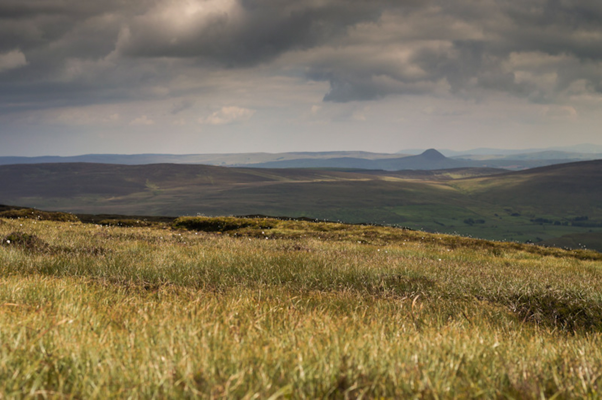
Standing where the stick used to be, or where the stones now sit, or wherever the actual highest point actually is on ground this featureless, the view south toward Slemish is the only thing that catches and holds your attention consistently. The cone holds shape. The cone holds meaning. The cone is the thing your eye returns to after looking at everything else, after the plateau has offered itself and been catalogued and already begun to fade from memory even while you're still standing on it. Slemish endures the way Slievenanee doesn't, carries story the way these heights don't, announces itself to the world in ways that a scattered summit marker never could.
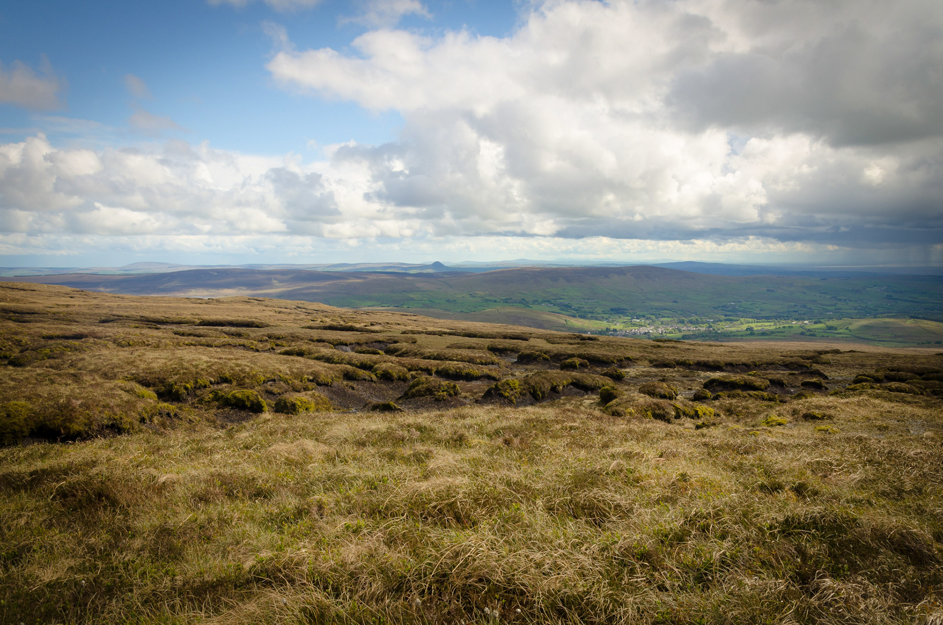
The walk back toward Trostan reverses the approach but feels like a different direction entirely. The ground you walked is still the ground, the bog still moves the same way, but the perspective shifts and Slemish slides out of the direct line of sight and becomes something remembered rather than something seen. The plateau reasserts itself as the primary subject. Trostan rises ahead of you again. The high ground regains its dominion over the view. By the time you're back on Trostan's summit, Slievenanee is already beginning to retreat in your mind into the category of places you've been rather than places you're currently in, and the isolation that was absolute ten minutes ago has already become a story you're telling yourself about something that already happened.

That isolation is what brings you back, more than any view or any summit worth achieving. A hill that eight out of ten walkers never bother with, that most people walking past never even notice, that refuses to make itself easier to find or easier to climb or easier to remember once you've left it. The stick is gone. The stones scatter gradually. The mountain carries on indifferent, and the next person who stands on this summit will understand, like everyone before them, that this is a place that doesn't particularly care whether anyone is standing here or not.
That's Slievenanee. That's enough.
Carnanmore Mountain
The first time you climb a coastal mountain in County Antrim, something shifts. Carnanmore was that mountain for me, and it's never quite let go since. There's a particular kind of exposure that comes from standing on high ground with the sea visible, from knowing that you've climbed toward the water rather than away from it. The plateau drops away behind you into the interior, but in front of you the whole geography tilts toward the edge, towards Torr Head, the North Channel and the Scottish coast sitting visible on the horizon close enough to feel like you could reach it if the weather was right.
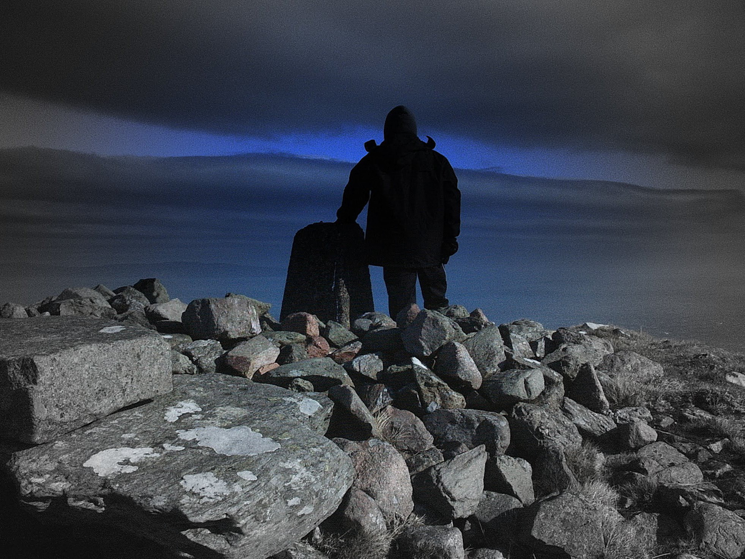
The mountain itself is built on a collision. Dark basalt coming down from the plateau meets ghost-white limestone at the coast, and Carnanmore sits in that exact boundary, claiming ground from both of them at once. The approach is steep enough that you notice it in your legs, and the higher you climb the more the interior recedes and the more the sea becomes the only thing that matters. By the time you reach the summit, the glens have disappeared entirely behind you and there's nothing ahead of you but Torr Head, water and distance.
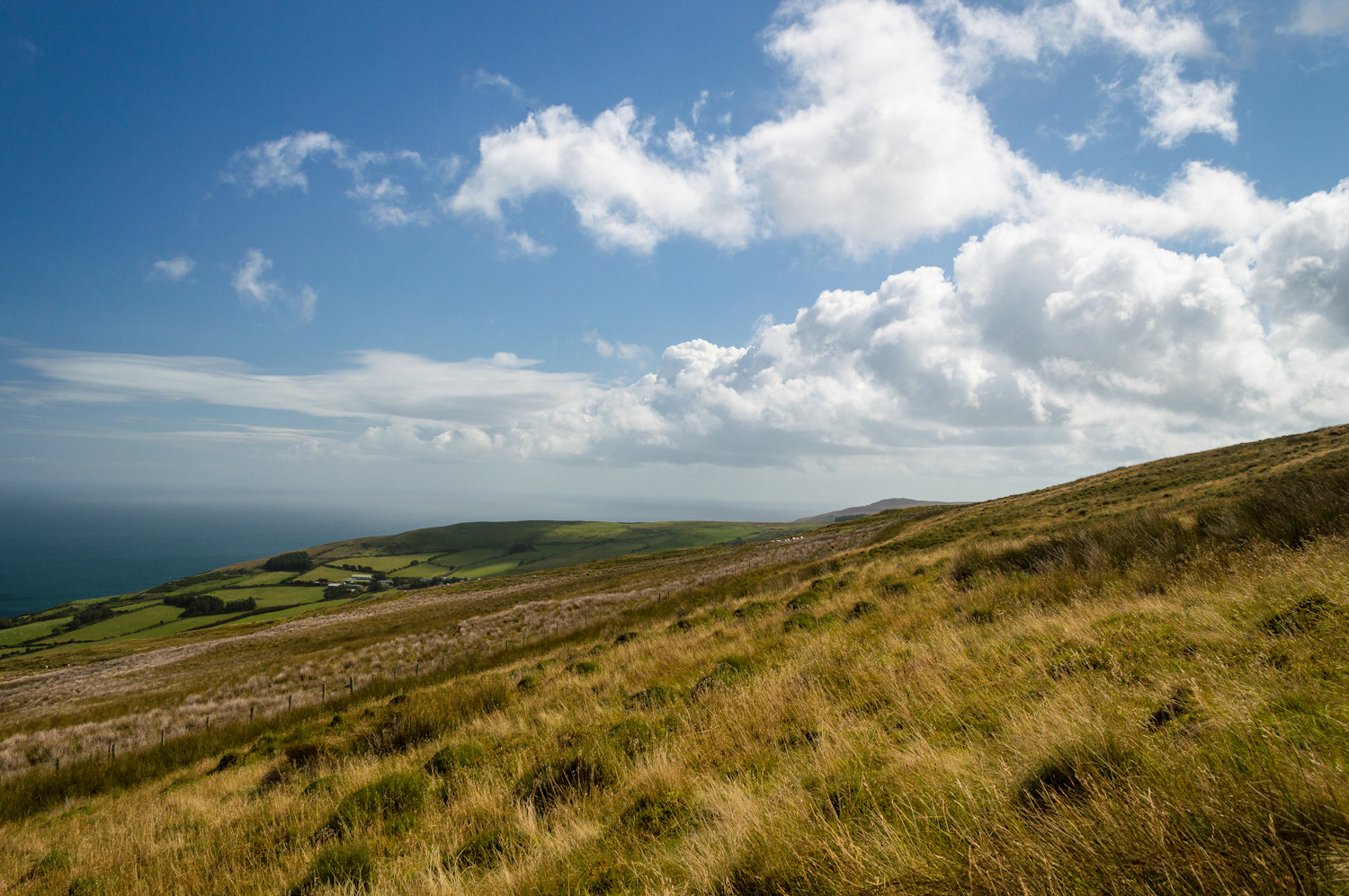
What's waiting at the top is the Great Cairn. It sits there like it was placed by someone who understood exactly what this summit needed, a Neolithic passage tomb weathered down to its core by five thousand years of Atlantic weather. The stones that built it are still there, and if you look closely you can find carvings in among them, serpentine lines that spiral and turn the way the mythological serpents do in the old stories. Someone built this deliberately on this exposed ground. Not because it was easy. Because it was exactly the place they needed to be.
There's an atmosphere up there that takes time to understand. It's not atmospheric in the way that photographers use the word. It's something you feel in your shoulders, in the slight wrongness of standing this high with nothing between you and the sea. The wind works at you constantly, pushing harder the higher you get, and the light moves across the water in ways that make you understand that the sea is never settled, never still. On a grey day Carnanmore feels ancient in a way that most hills don't, as if all five thousand years of people standing on this summit have somehow accumulated in the stone.
The coastal views are what everyone talks about, and they're right to. You can see across to Kintyre sitting on the horizon, you can trace the line of the coast curving away in both directions, you can stand there and feel the scale of the geography opening up beneath you. But what catches you unawares is the sense that you've arrived somewhere that meant something to people long before anyone thought to build paths up to it. The Neolithic people who built the cairn weren't making a destination. They were marking a place where the boundaries got thin, where the living world and the world of the ancestors felt close enough to communicate across.
I've been back to Carnanmore a lot since that first time, and it's never lost that quality. The views are always impressive, the exposure is always there, the wind is always working at you. But underneath all of that, there's something else. A sense of being in a place that was chosen for reasons that go deeper than convenience or good views or even the desire to mark a summit. The ancient builders understood that some ground is different, that some mountains aren't just high points on the landscape but places where something else lives. Carnanmore is still that kind of place.
Carncormick: Cormac’s Cairn
The frost hasn’t gone from the grass around the trig pillar on Carncormick by the time the light is properly up, silvering the tussocks in a band a few feet wide where the pillar’s own shadow kept the sun off longest. The concrete itself has already caught the light by then, gone the colour of old bone on its sunlit face, lichen and moss working across the surface in patches that have clearly been there for decades rather than years. Behind the pillar the ground falls away into a haze of low hill and farmland that the morning hasn’t fully burned off yet. Mornings like this are worth the early start on their own terms, before the frost has gone and before the haze in the valleys has thickened into the flatter, greyer light that most of an ordinary day actually gives you.
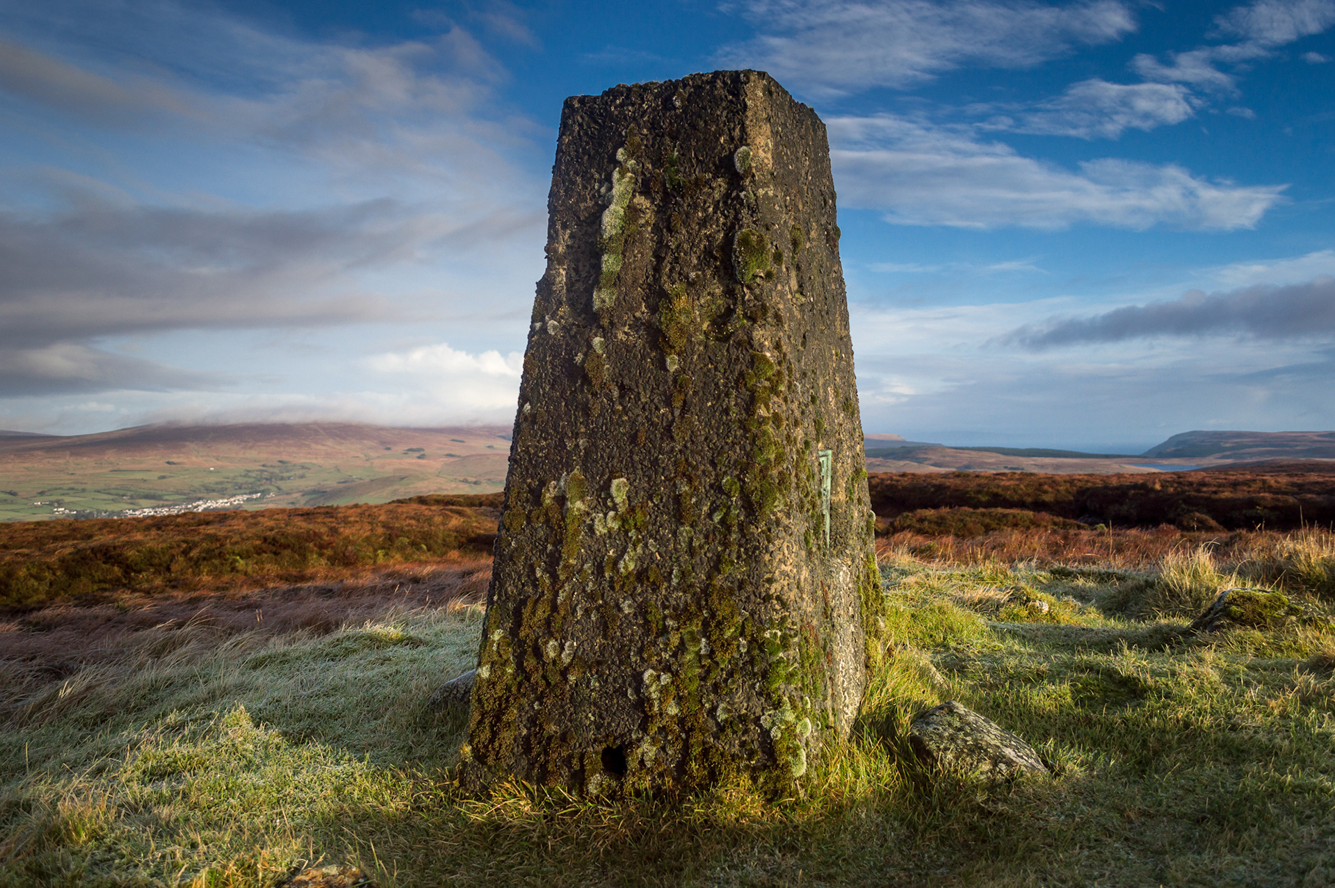
This mountain doesn’t get walked in the numbers that Trostan or Slemish do, and there’s no obvious reason a casual visitor would seek it out over any of its taller neighbours. What it has instead is the particular quiet that comes from being genuinely awkward to reach, heather and hag keeping away anyone who isn’t specifically committed to the crossing, so that whoever does stand at the pillar on a morning like this one has it, for all practical purposes, entirely to themselves.
This wonderful crest reaches 436 metres, has beautiful views and is rarely visited. Yet, it still never manages to be spoken of in the same breath as any of its more illustrious neighbours. Maybe the effort required is the reason. The ground getting up to it requires a serious workout. Deep tussocky heather covers most of the approach, the kind of terrain where every step lands somewhere slightly different from where you aimed it, a twisted ankle a real possibility rather than a theoretical one, and there’s no path so you really do earn this historic summit.
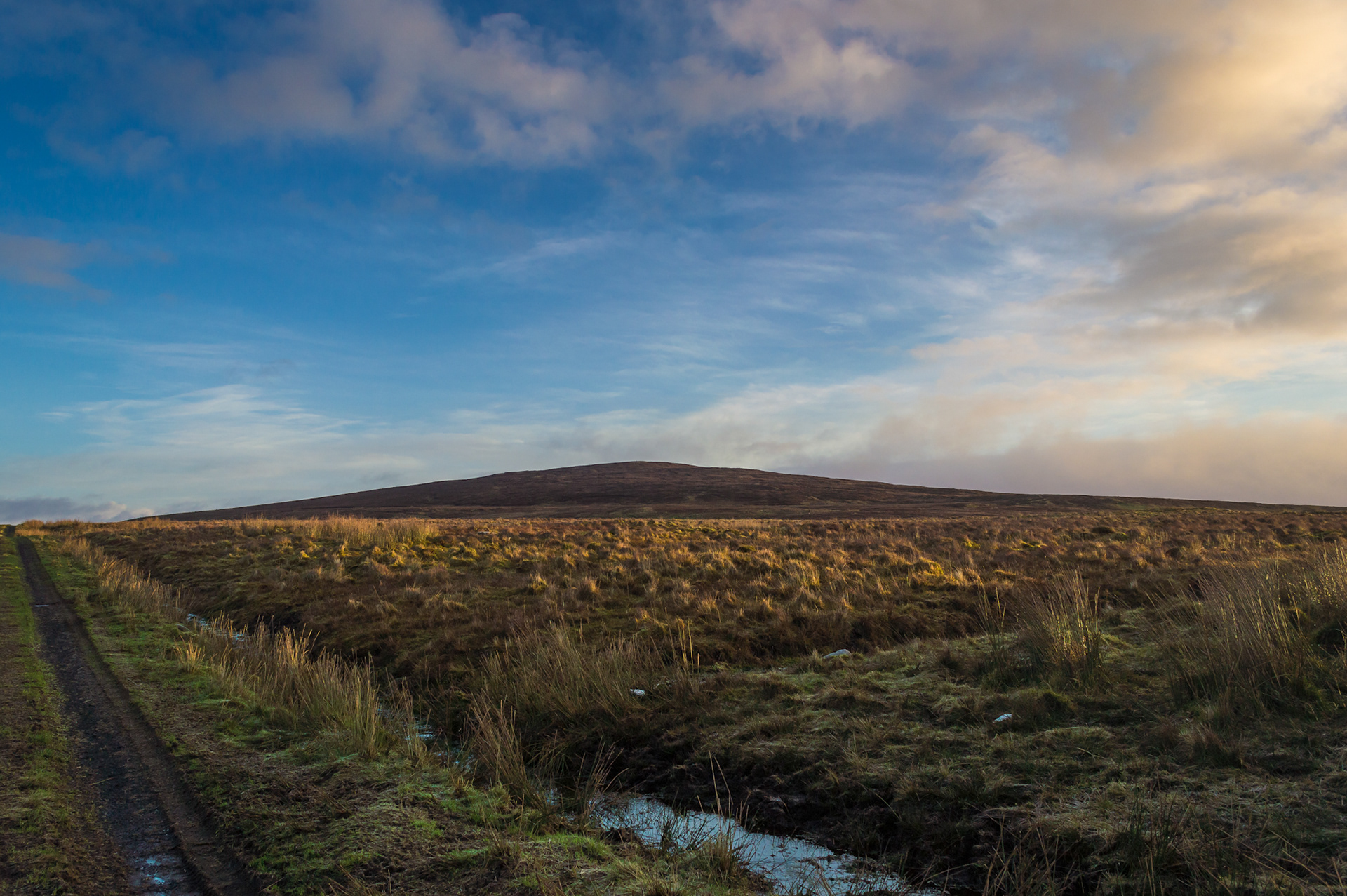
Carncormick is the anglicised form of Carn Chormaic, Cormac’s cairn, and for once a hill’s Irish name isn’t simply describing what the ground looks like or what grows on it. It’s naming a person, or the memory of one, a Cormac about whom nothing else survives, no story, no dates, nothing beyond the fact that at some point long enough ago for the details to be lost entirely, somebody thought this summit and this name belonged together strongly enough to raise a cairn and say so. Cormac itself is an old name in Irish, older than most of the explanations offered for it, sometimes glossed as coming from a word for chariot, sometimes connected to the raven, the kind of etymology with more than one plausible answer, which usually means nobody actually knows.
What stands on the summit now isn’t Cormac’s cairn in any form that would be recognisable to whoever raised it. It’s a triangulation pillar, poured concrete rather than piled stone, built as part of a national survey that had nothing to do with any local memory of anyone at all. But according to the record kept by the people who catalogue such things, the pillar stands on the remains of the cairn itself, the older stones presumably absorbed into or buried beneath the modern structure rather than cleared away entirely. Two different technologies for marking the same point on the same hill, separated by however many centuries sit between a named burial cairn and a twentieth-century survey programme, and both of them, in their own way, insisting that this particular spot mattered enough to be fixed permanently against the shifting ground around it.
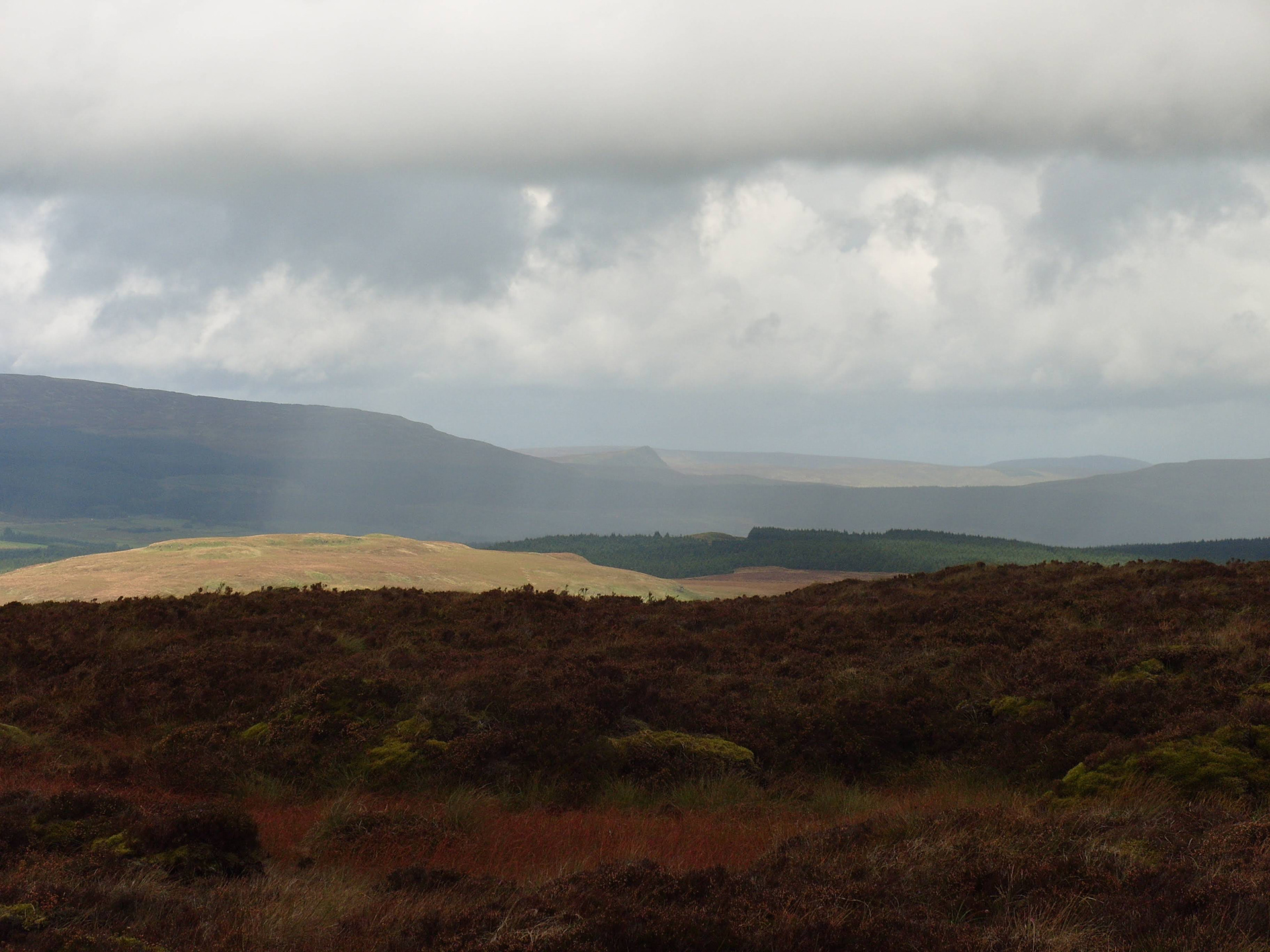
From the pillar the land drops away in every direction into a spread of Antrim that changes character depending on which way you happen to be facing. East, the ground runs toward Mid Hill, Collin Top and down into the deep cut of Glenariff. South, it opens into the Braid valley, farmland patchworked below Slemish, pale in the kind of early light that turns ordinary fields briefly luminous. North, the ground carries toward Glenravel, the village of Cargan visible where it sits against the lower slopes of Slievenanee and Trostan rising to either side of it in the middle distance. On a clear day it’s the kind of panorama that makes the difficulty of the approach feel entirely reasonable in hindsight, tussock and twisted ankle a fair price for a view that takes in most of the county’s high ground all at once.
There’s something almost contradictory in a fixed point requiring this much difficulty to reach. A trig pillar exists because surveyors needed a location that could be relied upon absolutely, height and position recorded to a precision that has nothing to do with how hard the ground underneath it happens to be. Carncormick’s pillar is exactly that, a certainty sitting on top of genuine unreliability, tussock and peat hag the whole way up doing what tussock and peat hag always do on this ground, giving nothing without asking something back first. The bedrock underneath all of it is basalt, the same lava that shaped most of this plateau, laid down and weathered into the same difficult, undulating ground that every hill in this part of the county eventually makes a walker answer for. Standing at the pillar, it’s worth remembering that the rock itself is older by an almost incomprehensible margin than either of the monuments built on top of it, cairn and concrete both recent arrivals on a landscape that was already finished long before anyone had a name for Cormac or a use for triangulation.
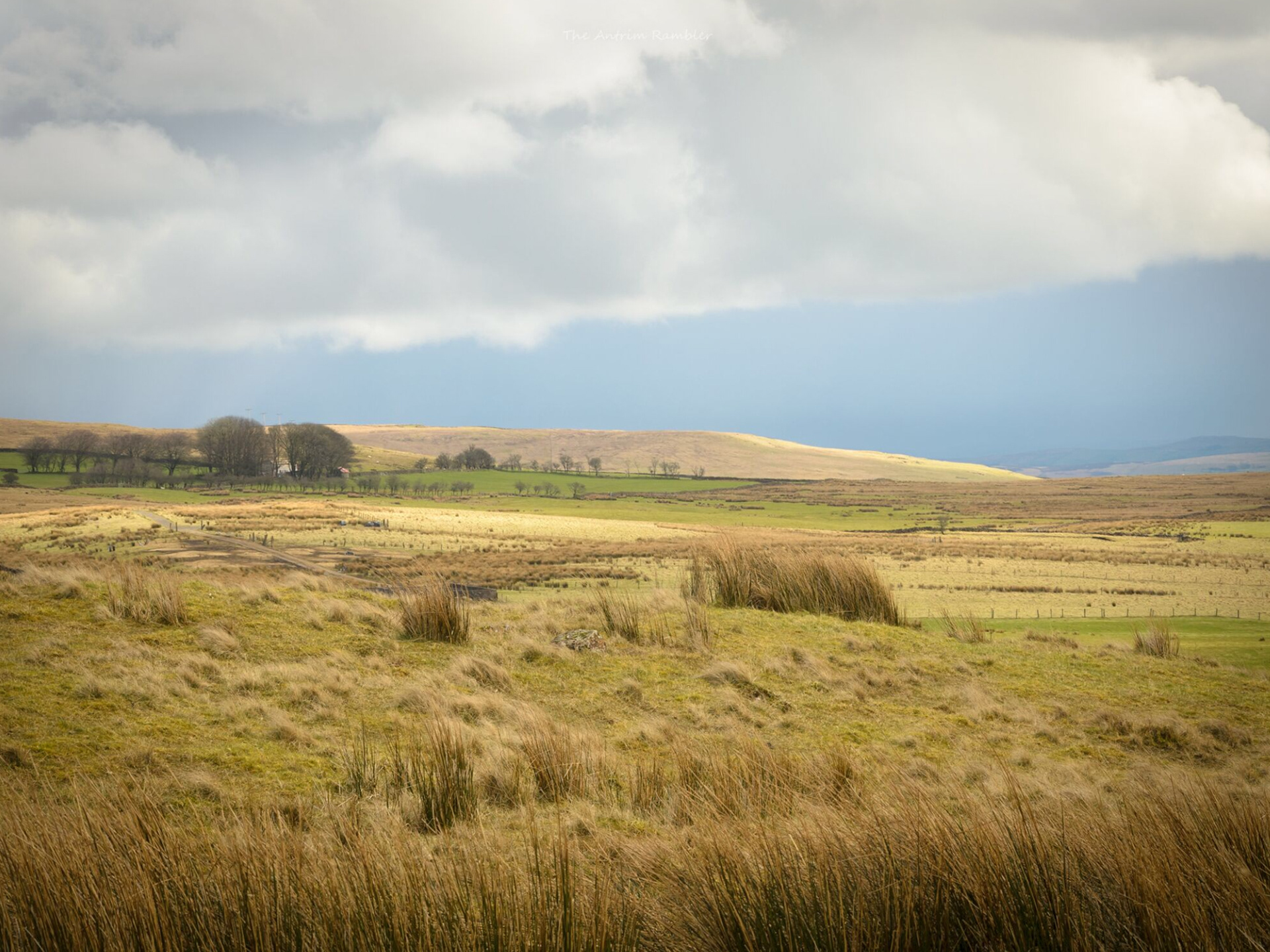
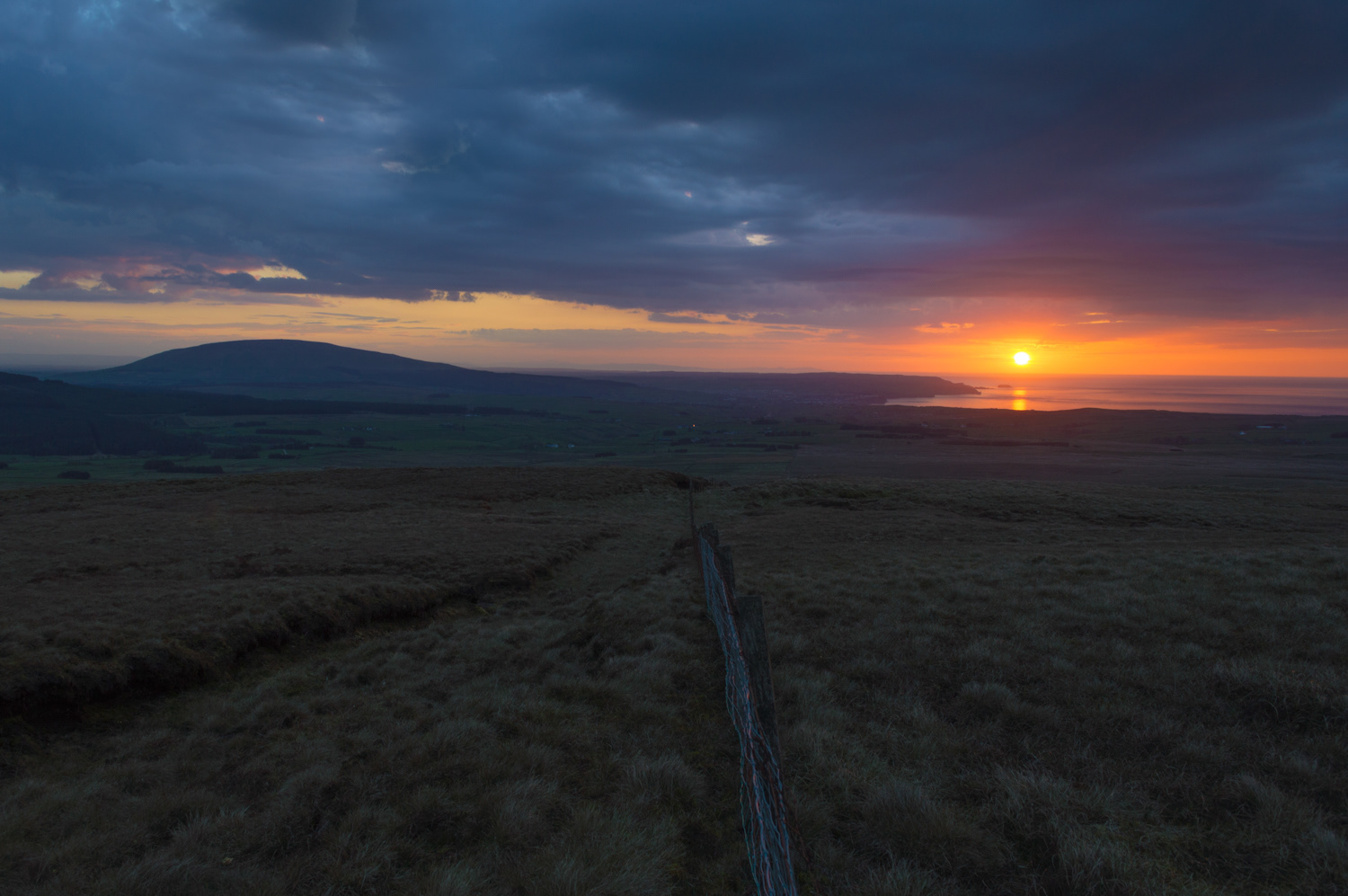
The descent south drops back toward Quolie Lane with its two reservoirs below catching the light before the open ground gives way to something more manageable underfoot. The heather becomes long grass, the drama disappears gradually and you become surrounded by mountains with brief moments of zero sign of humanity. Slowly another epic day becomes a memory that will eventually bite back and make us want to return..
Slemish Mountain
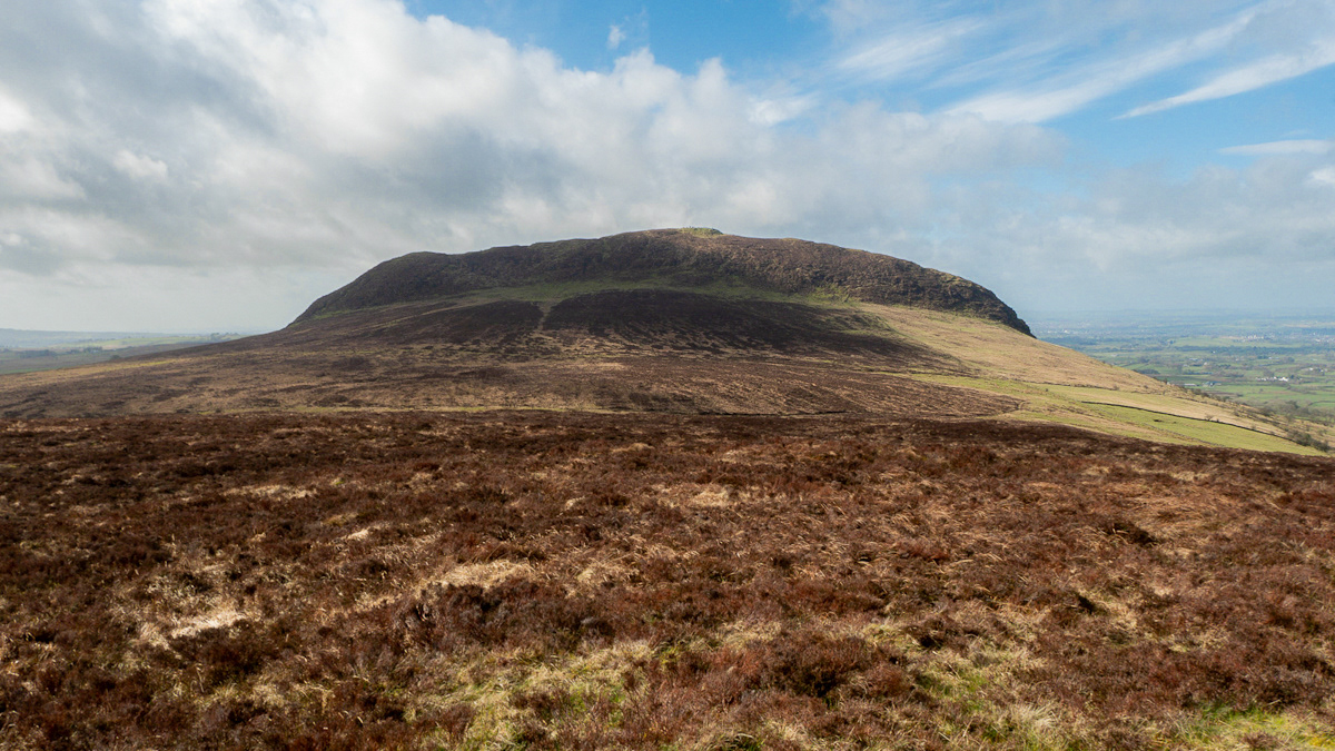
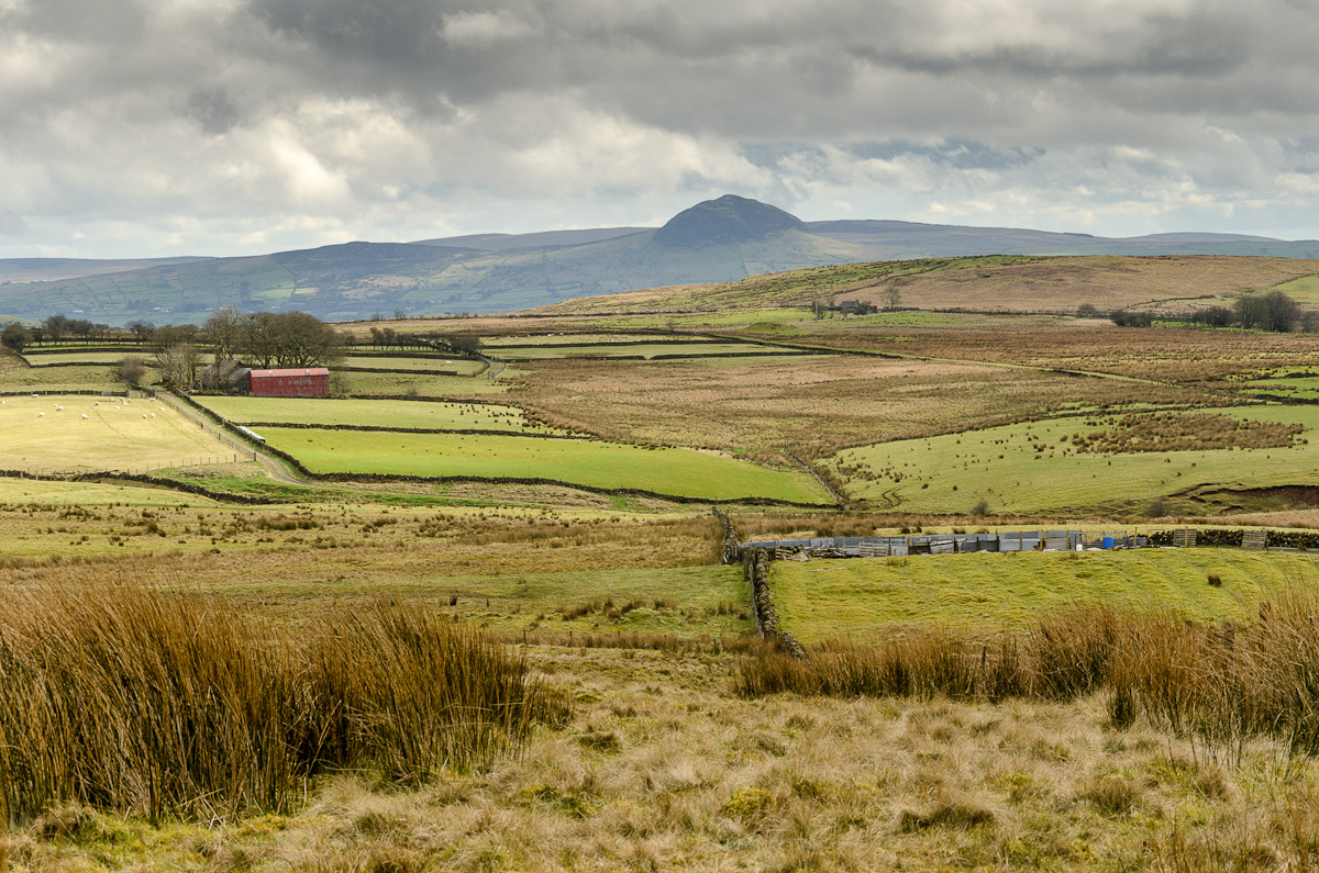
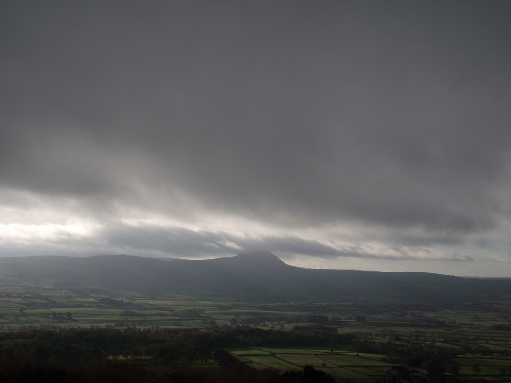
The first time you notice Slemish is usually from somewhere else entirely. The mountain doesn't emerge gradually the way most Antrim hills do, sharpening as you get closer. Instead it announces itself from miles away, a flat-topped block of rock standing alone above the farmland around Broughshane, visible from half of County Antrim on a clear day. From a distance it looks more like something built than something that simply survived weathering and time, squared off and solitary in a way that contradicts the rolling nature of every other hill you can see from the same vantage point. Most of the county's high ground flows into itself, one ridge giving way to the next without any particular border marking the difference. Slemish refuses that logic entirely. It sits on its own, steep-sided and abrupt, and there's something in that absolute separation from everything around it that makes it stick in your mind even before you've ever walked it.
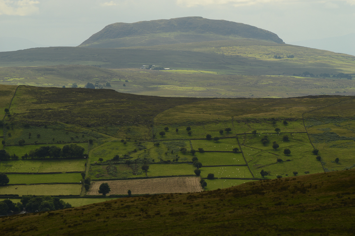
The geology explains the shape once you know where to look for it. Slemish is a volcanic plug, the hardened core of an extinct volcano's feeder conduit, made of olivine dolerite and left standing after tens of millions of years wore away the softer rock that surrounded it. The plug itself is oval, roughly a kilometre long and a few hundred metres wide, composed of at least three separate pulses of magma, each one cutting through the one before it in the way that molten rock does when the earth decides to push again. What's unusual about Slemish, geologically speaking, is how cleanly it demonstrates the process. There's no crater left, no cone shape, no remnant of the volcano's original architecture. Just the plug itself, the core that fed it all, stripped down to bare mineral and exposed to whatever weather the Irish climate wants to throw at it for the next fifty million years or so.
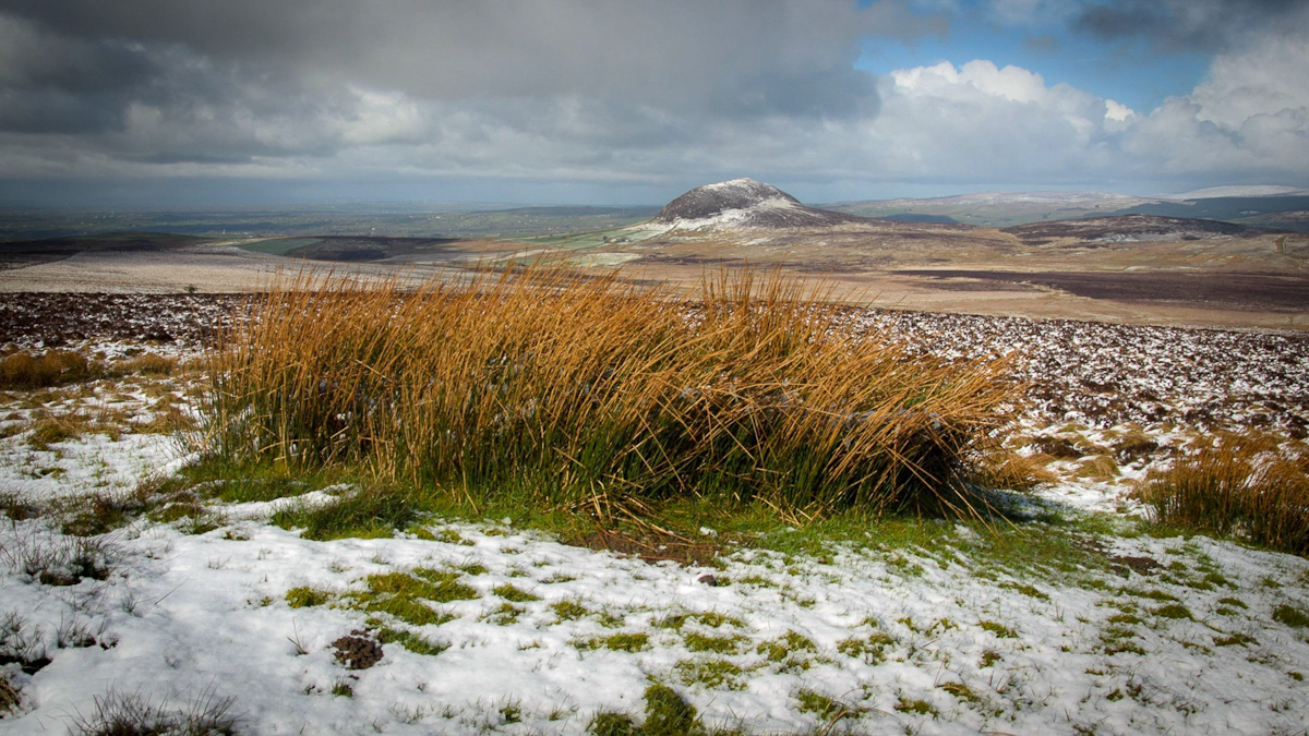
The climb from the base is short and steep rather than long, a worn path that's carried thousands of boots in both directions over however many centuries people have been walking this particular mountain. The path winds between outcrops of dark stone, gains height quickly enough that the breath starts coming harder after the first few minutes, and emerges onto a broad, grassy plateau that feels considerably bigger underfoot than the mountain looks from the distance where you first noticed it. At 437 metres, Slemish falls just short of the height that would put it among the Antrim Arderins alongside Trostan at 550 metres, Slievenanee at 543, Knocklayd at 514, and Slieveanorra at 508. It's a mountain that has never seemed to mind the omission. Height was never really what made Slemish famous, and it's never been what the mountain was actually about.
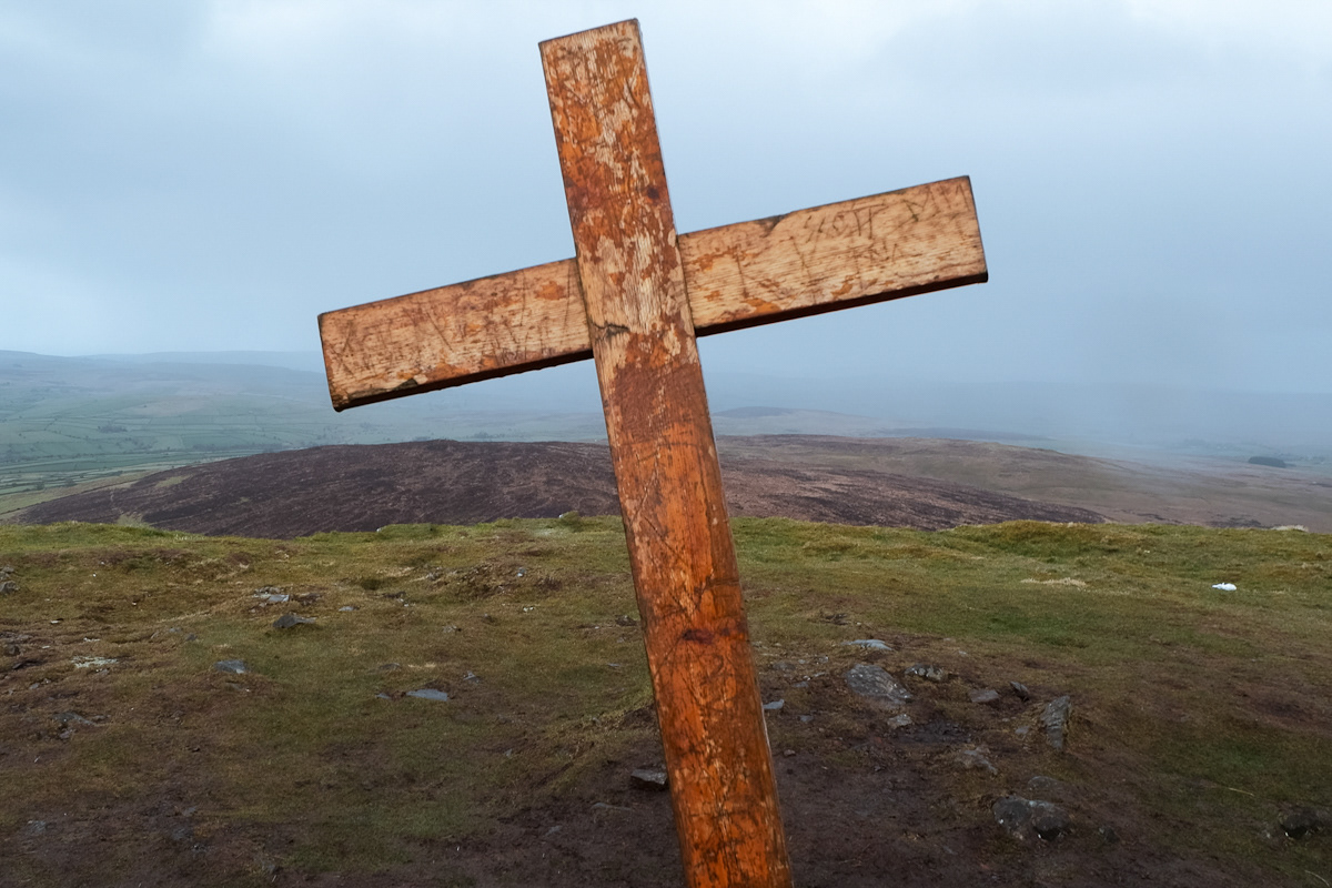
What made it famous is a story that's older than most stories in County Antrim, though like most old stories it's harder to verify the further back you try to trace it. According to tradition, a shepherd boy spent six years on these slopes sometime around the turn of the fifth century, brought to Ireland as a captive and set to herding sheep and pigs on the hill above Broughshane before something changed and he escaped. The boy's name was Patrick, though his birth name was Succat, and the story of those six years on Slemish is where a fair portion of Antrim history and the story of Saint Patrick become the same story. Whether every detail happened exactly as told is a question historians can spend their time on. What's certain is that people have been climbing Slemish because of that story for a very long time, and still do, in real numbers, on the seventeenth of March every year, which is the date the boy who became a saint is commemorated, even though nobody's entirely sure which century he was actually born in.
The tradition holds Slemish. What scholars say more quietly is that the captivity location is disputed, that other sources place the six years somewhere else entirely, in Fochlad or Focluth on the coast of Mayo rather than here. But Slemish has the story now. It's carried it for centuries, and that's a different kind of fact than whether the earth actually confirms every detail. A hill this shape, standing this alone, was always going to attract a story eventually. It has the presence for one.
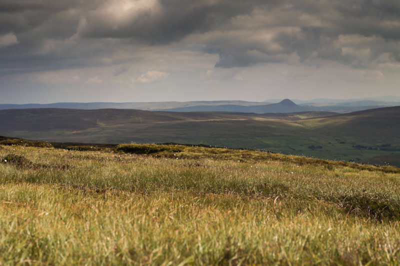
Standing on the summit plateau on an ordinary day, away from whatever the Saint Patrick's Day crowds make of the place every March, the view opens in a way that makes the appeal of the story easier to understand. On a clear day you can see across the Antrim plateau towards Trostan and the glens, west across the low ground to Lough Neagh, and if the weather is exactly right and the light is cooperating, south towards the Mourne Mountains far enough away that they look almost theoretical. The distance that the height gives you is modest but genuine. The boy who stood here tending sheep and pigs six hundred years before anyone ever wrote his story down would have seen essentially the same view, would have watched the same weather patterns moving across the same landscape, would have understood at least that much of what the place was showing him about the size of the world he'd been brought to against his will.
There’s something particular about a summit that's flat rather than pointed, something that changes what it feels like to arrive. Most County Antrim walks build towards a cairn or a trig point, a single spot that marks the top unambiguously. Reach it and you're done, you've stood in the highest place and can confirm it. Slemish gives you a plateau instead, room to walk about once you've made the climb, no single obvious point that's highest until you've crossed most of the ground up there checking. The summit isn't a destination in the way that most summits are. It's a place. That distinction might matter more than it seems like it should, particularly for a story about a young man who escaped after six years, who came back as an adult, who chose to spend his life here after spending the first part of it there against his choice. A pointed peak you stand on. A plateau you inhabit. Different kinds of relationships to ground.
On the guided programme the walk is included as part of a longer route alongside Carrigin and Douglas Top rather than as a walk on its own, and the three together give a fuller day than the mountain's modest height would suggest on its own. Slemish still announces itself the same way on the way home as it did on the way in, a flat-topped block of rock standing alone above the farmland, giving nothing away about the centuries of story that have accumulated on its surface, the young man from Britain who became a saint here first because he had no choice, then because he chose to come back. The shape of the mountain hasn't changed. What's changed is everything else, all the people who've climbed it because of what one person supposedly did here in the dark, nearly two thousand years ago.
Knocklayd Mountain
Knocklayd rises alongside the Antrim plateau with a sharpness that catches you unaware. From most angles across North Antrim, it dominates the view, a distinctive cone that looks higher than its 514 metres actually is. The mountain's name comes from Cnoc Laoidh, the hill of the poet or perhaps the hill of the lay, though the exact lineage of the name sits somewhere between oral history and speculation. What matters more is what you see from the top.
On a clear day, Knocklayd offers a 360-degree view that spans from the Mull of Kintyre across to the Donegal hills and down to the Mournes. The summit cairn sits exposed, the kind of place where the wind has opinions. The approach from the Ballycastle side is straightforward—the mountain has been walked for centuries, and the paths show it. Sheep tracks cross the lower slopes, and the moorland opens gradually as you climb. In autumn and winter, the mountain can be bleak. In spring and early summer, it holds pockets of purple heather that seem to glow against the grey stone.
Knocklayd has no drama in its geology—no fossil-filled cliffs like Fair Head, no columnar basalt like the Giant's Causeway. Instead it's a mountain of quiet presence, the kind that reveals itself slowly to regular visitors rather than in a single dramatic encounter. The moorland around it holds remnants of older settlement boundary stones and field systems that suggest people have been using this ground for longer than anyone can say with certainty. Local knowledge holds that the mountain's upper reaches were used as a refuge and meeting point during various periods of conflict, though the details have been smoothed by time into something closer to legend than record.
A walk up Knocklayd is a walk into the texture of North Antrim itself. The mountain doesn't have the romance of Slemish or the scale of Trostan, but it has something more useful: it's a working part of the landscape, still grazed, still crossed by walkers, still there in the morning when the clouds clear. That constancy is its own kind of power.
The Summer Shift: How Hillwalking Feels Different in the Long Days
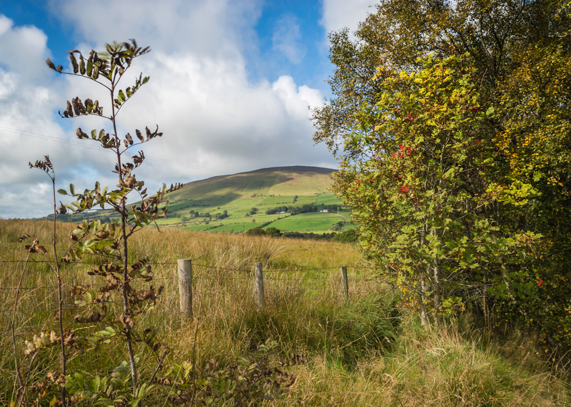
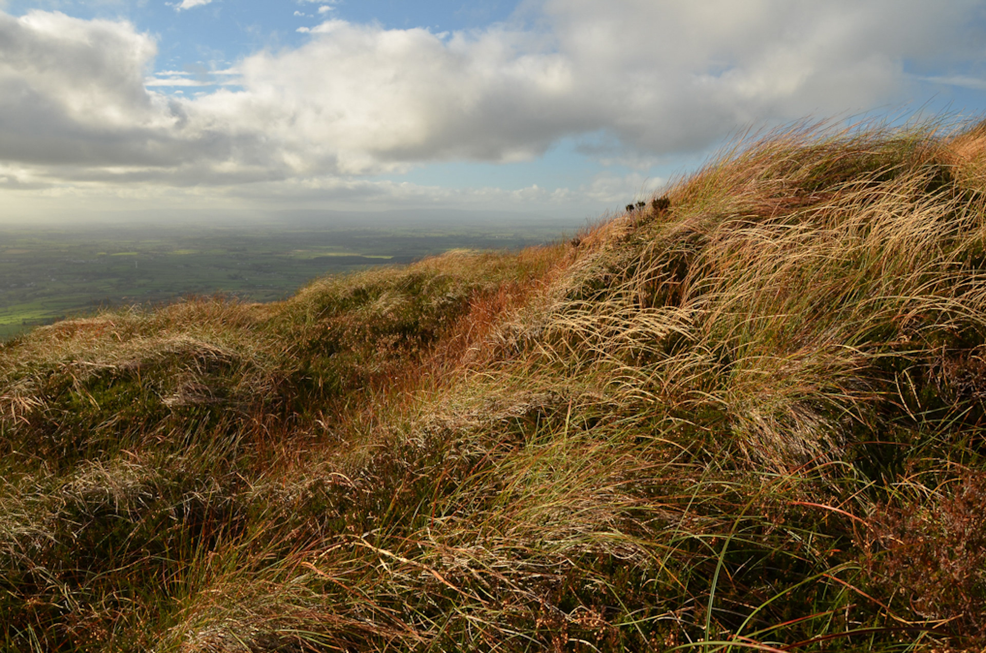
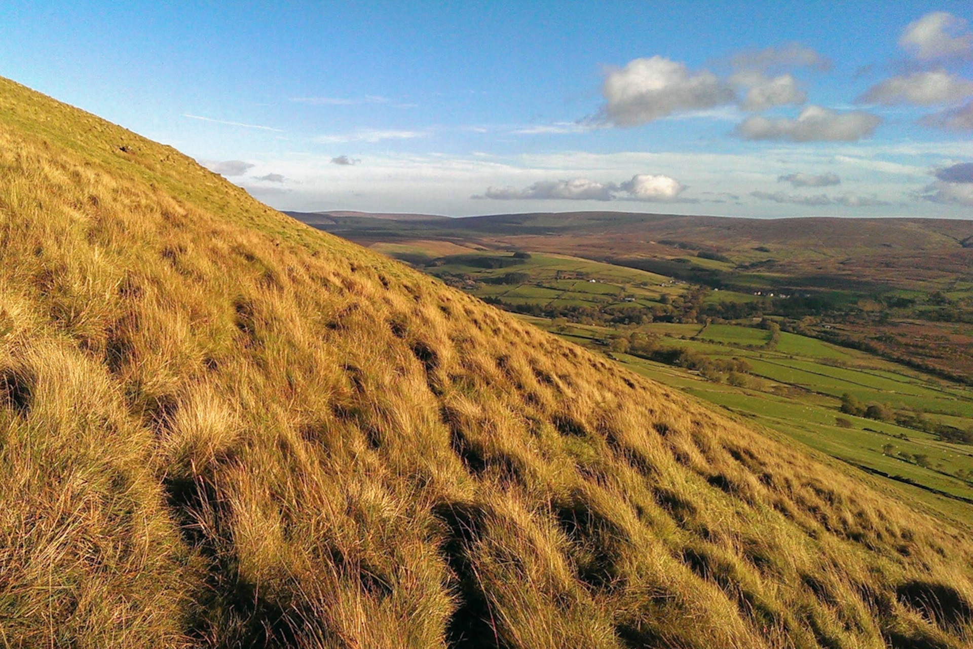
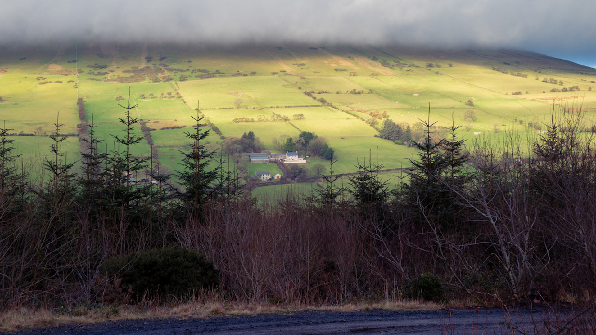
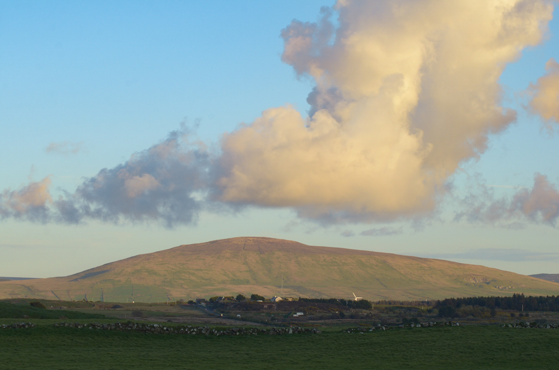
Anyone who has walked the Antrim hills across the full turn of the year knows that summer doesn’t just change the light. It changes the walker. The most obvious shift is time. With daylight stretching past nine in the evening, the clock stops dictating the day. There’s no anxious eye on a turnaround point, no calculation of how many miles remain before dusk catches you out on Trostan or along the Garron plateau. That extra room changes the pace of a walk entirely. People linger. They take the longer way round. The walk becomes less about managing risk and more about simply being there.
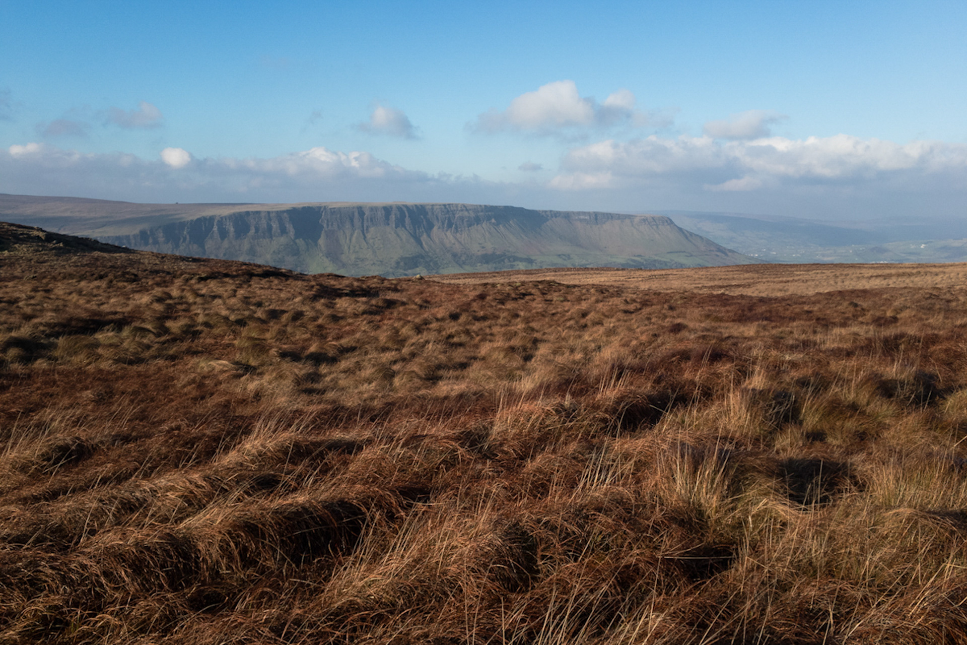
But the long days bring a quieter danger with them: false confidence. Summer has a reputation for safety that the Antrim coast and glens don’t always honour. A clear morning at Glenariff can turn within the hour, and the warmth in the car park means little once you’re exposed on a ridge in a squall. The walkers who come to grief in summer are rarely the ones who respect the hills in winter. They’re the ones who let the season talk them out of a waterproof.
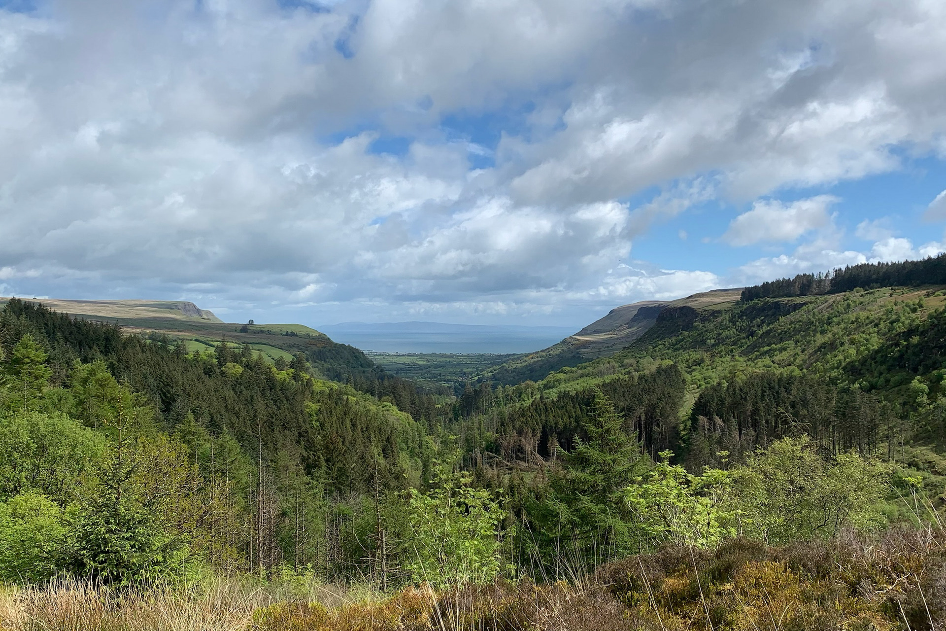
Crowds change the character of a walk too. Where a February outing on the Antrim plateau might mean solitude for hours, July brings other walkers, other voices, other plans crossing your own. For some, that’s reassurance. For others, it’s the thing they came to the hills to escape. Either way, the walk stops being only about the landscape and becomes, in part, about the company you keep or avoid
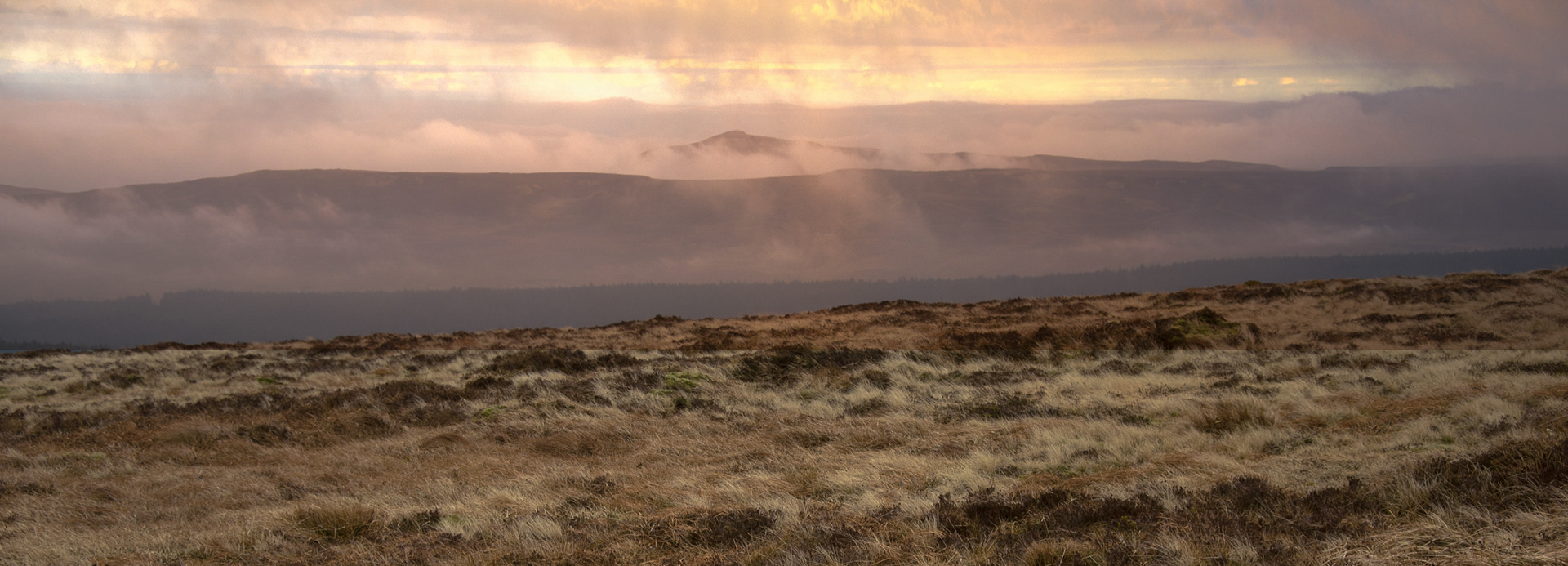
That shift in motivation is worth noticing. Winter and shoulder-season walkers often come for something quieter: a personal reckoning, a need for solitude, the pull of bad weather handled well. Summer walkers more often come for the experience itself — the photograph, the group, the tick on a list of peaks. Neither is better. But a guide who understands which one is in front of them on a given Saturday will run a very different day.
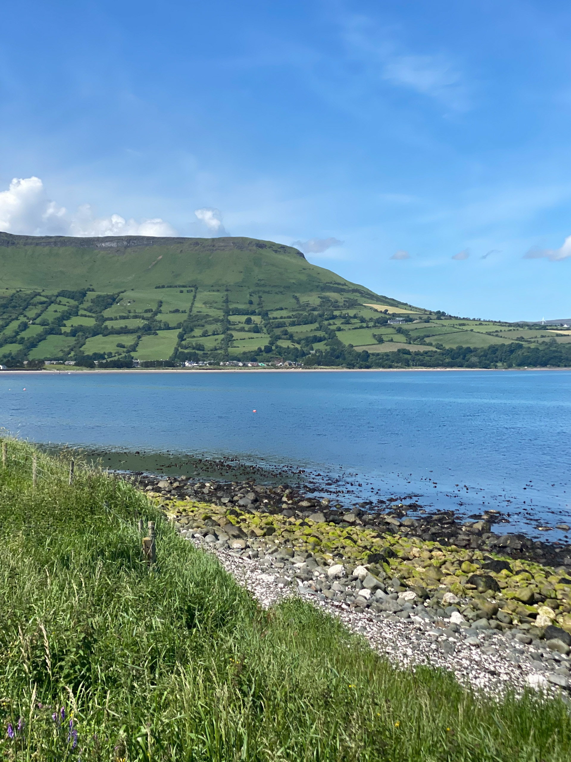
For visitors arriving on the Antrim coast for the first time in summer, the walk often means something different again than it does for someone local who has walked the same path for years. The first-timer is collecting an experience. The local is renewing one. Both are valid reasons to be on the hill, but they ask different things of the day, and of the guide leading it.
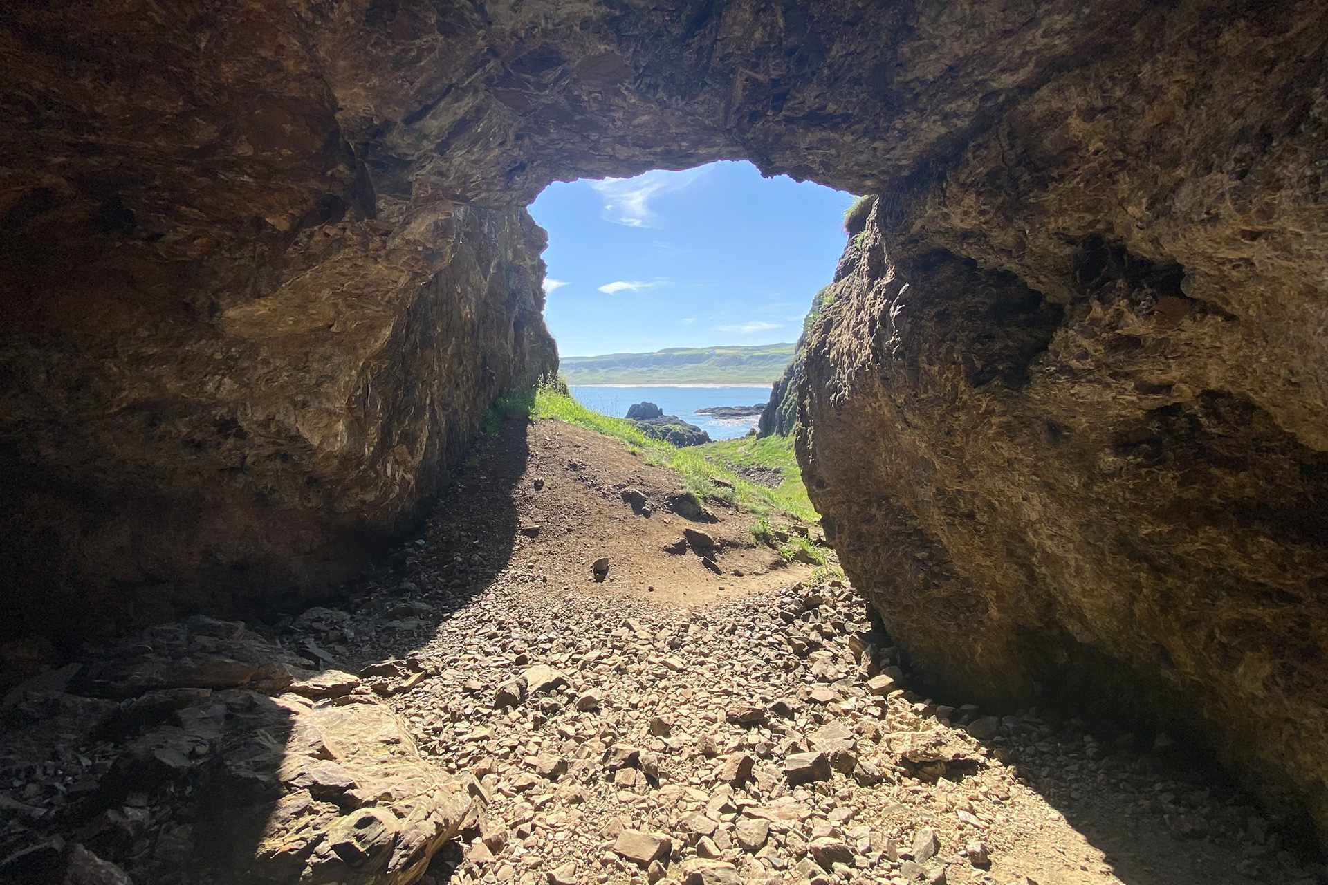
None of this makes summer walking better or worse than any other season on this coast. It simply makes it a different kind of walking, governed by different instincts. Knowing which instincts are at play, in yourself and in the people walking beside you, is most of what good guiding comes down to.
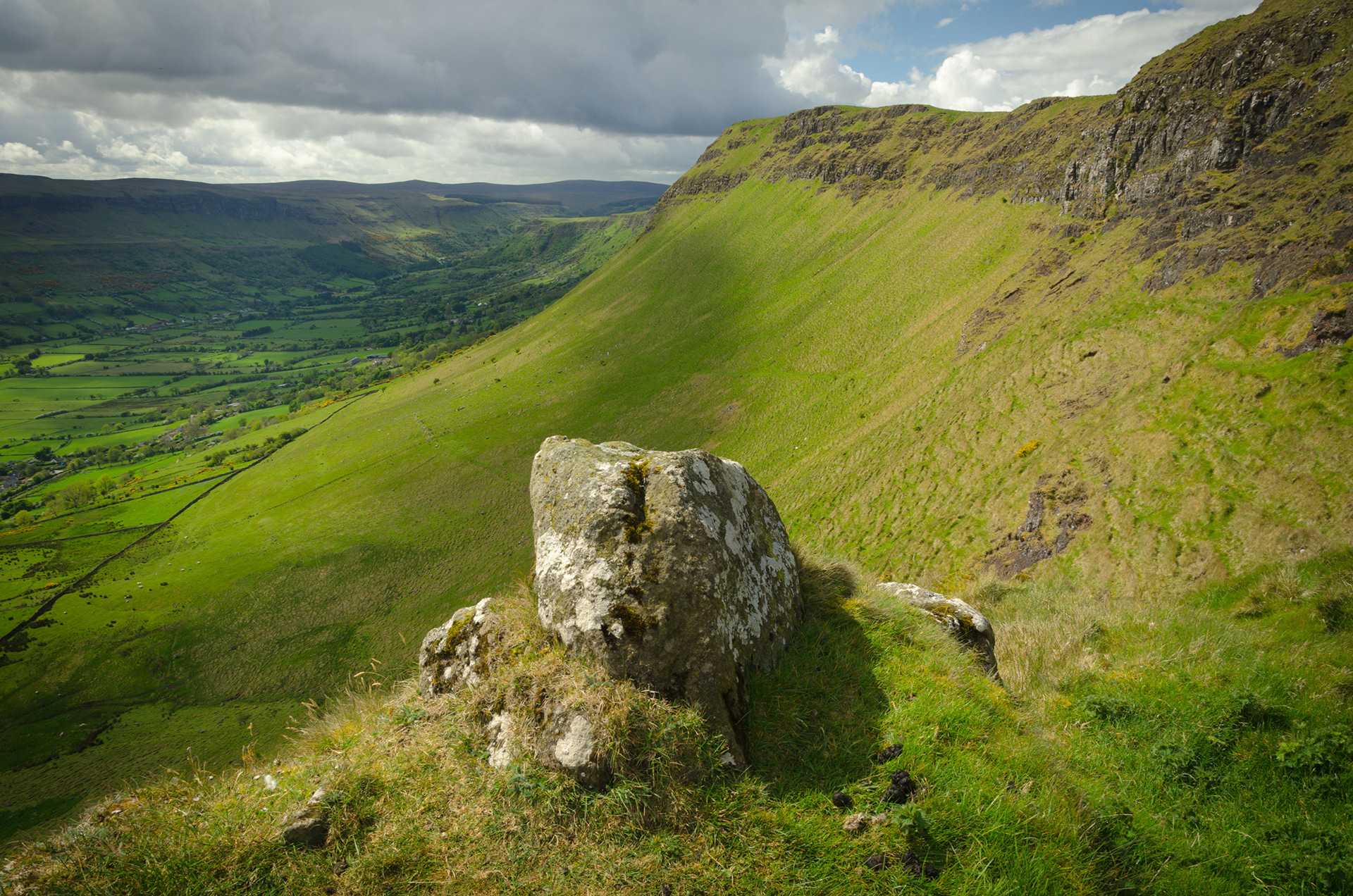
Walking the Antrim Arderins: Knocklayd, Trostan, Slieveanorra and Slievenanee
The Antrim Arderins are four of the finest hills in Northern Ireland, rising above the Glens of Antrim to heights of over 500 metres. Knocklayd, Slieveanorra, Trostan and Slievenanee offer some of the most rewarding hillwalking in the north, away from the crowds of the coast and deep into the wild upland heart of the county. Whether you are an experienced hill walker or looking for a guided walk in the Glens of Antrim, these mountains offer a landscape unlike anywhere else in Ireland.
When we speak of the Antrim landscape, our minds often drift immediately to the coast, to the 50p edges of the Causeway or the sheer drop of Fair Head. Yet, inland, rising from the plateau, stand the silent watchers of the county. The Antrim Arderins, mountains rising over 500 metres, are not the sharp, granite peaks of the Mournes. They are something older, heavier, and perhaps more soulful.
Knocklayd, Slieveanorra, Trostan, and Slievenanee form a quartet of high ground that defines the horizon for the solitary walker. To hike these hills is not about conquering summits; it is about engaging with the deep, quiet peat and the endless grey skies that wrap around them.
Knocklayd is perhaps the most recognisable, a perfect dome dominating the skyline above Ballycastle. It stands apart from the others, a solitary sentinel guarding the northern edge of the Glens. The climb here is a steady, rhythmic ascent that demands patience. As you rise, the noise of the town below fades, replaced by the wind rushing up from the Sea of Moyle.
From the cairn at the top (514m), the view is expansive, stretching across to Rathlin and Scotland on a clear day, but the true atmosphere of Knocklayd is found when the cloud descends. In the mist, the mountain feels ancient and enclosed, a place where the folklore of the Glens feels less like a story and more like a memory. It is a hill that asks you to pause and look outward, a vantage point for the entire northern coast.
Turning inland towards the forests, we find Slieveanorra (508m), a hill steeped in history and surrounded by the texture of the trees. While it meets the height criteria of an Arderin, it has a different character, shaped by the forestry plantations that flank its lower slopes and the history of the MacQuillan and MacDonnell clans that is etched into the soil. The summit offers a commanding view of the Glens, looking across to Trostan and down into the valleys. The walk here feels like a journey through time, moving from the enclosed, pine-scented tracks of the forest up onto the open, windswept heath. It is a mountain of contrasts, where the organised lines of the plantation give way to the wild, chaotic beauty of the open hill.
Moving deeper into the heart of the Glens, we find Trostan, the highest of them all at 550 metres. Trostan is deceptive; it does not pierce the sky but rather occupies it. Its summit is a vast, flat plateau of exposed rock and heather, a landscape that can be disorienting in poor visibility. This is not a place for casual wandering; it requires respect and a good navigational sense.
The silence on top of Trostan is profound, broken only by the call of a skylark or the squelch of a boot in the wet ground. As walkers, we must be hyper-aware of our impact here. The peat hags are fragile, and the "Leave No Trace" principle is paramount, we tread lightly, sticking to durable surfaces where possible, preserving the wild isolation that makes Trostan so majestic. It is a brooding, powerful mountain that offers solitude in its purest form.
Linked to Trostan by the high ground is Slievenanee (542m). If Trostan is the silent giant, Slievenanee is its rugged shoulder. The walk between the two or along Slievenanee’s ridges offers some of the finest high-level walking in the county. The terrain here can be testing, with long grasses and uneven ground that challenge the ankles and the resolve. Yet, the rewards are significant. The slopes of Slievenanee provide sweeping lines for the landscape photographer, layers of green and brown fading into the blue distance. There is a raw exposure here; there is rarely shelter from the prevailing winds, reminding us that in these hills, we are guests of the elements. It is a place to feel small, to feel the scale of the land against the sky.
These four peaks, Knocklayd, Slieveanorra, Trostan, and Slievenanee, are the backbone of the Antrim uplands. They do not shout for attention; they simply exist, enduring the Atlantic weather with a stoic grace. For the photographer, they offer a palette of muted earth tones and dramatic light. For the walker, they offer a challenge that is as much mental as it is physical. To walk the Arderins is to understand the true nature of this county: rugged, beautiful, and enduringly wild.
If you would like to walk Trostan, Knocklayd or the Antrim Arderins with an experienced guide, The Antrim Rambler offers guided hillwalks across Northern Ireland. Cecil and Nicholas have walked more of this county than anyone, and they would love to show you these hills. Check upcoming guided walks and book your place on Eventbrite.
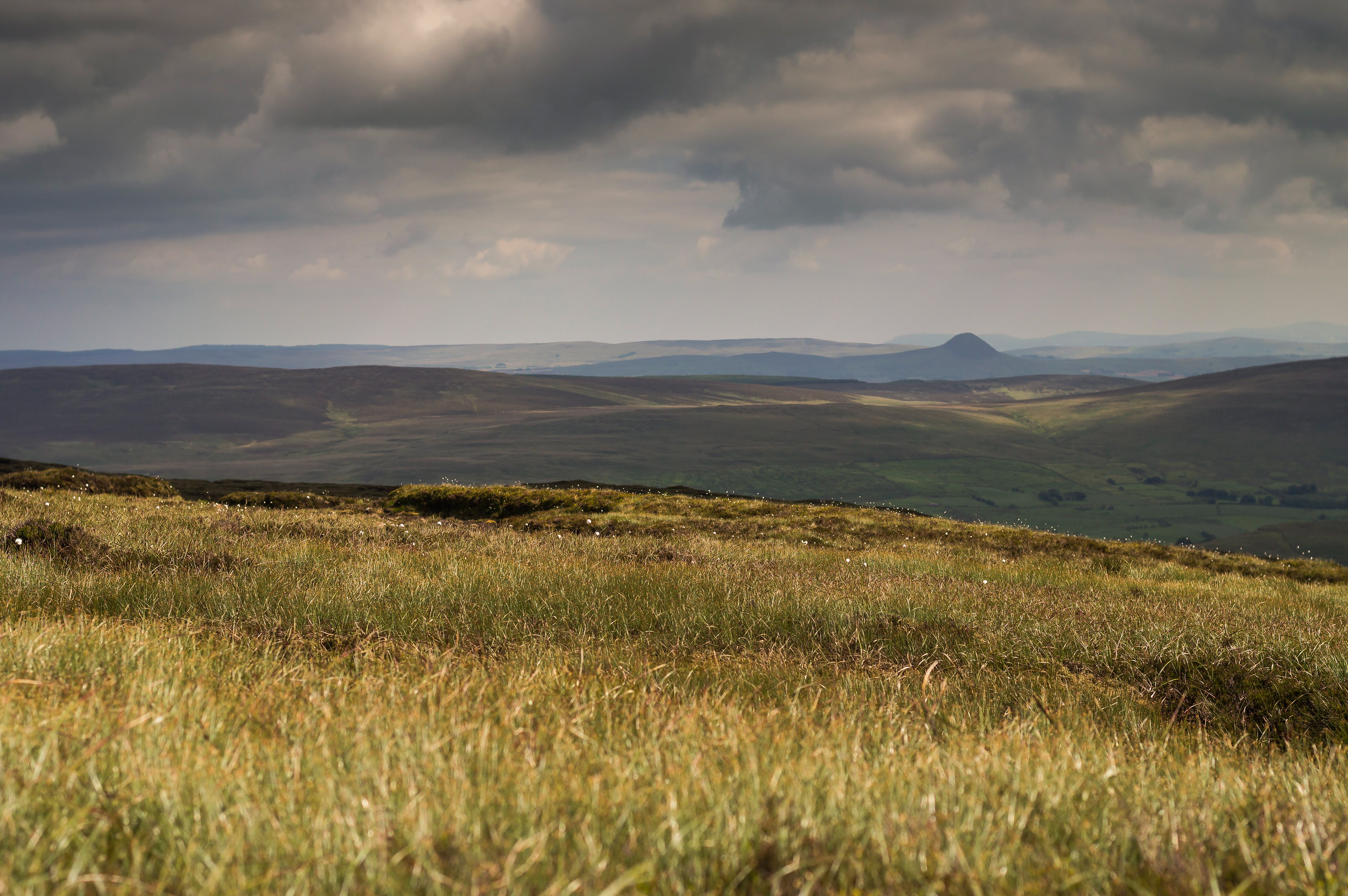
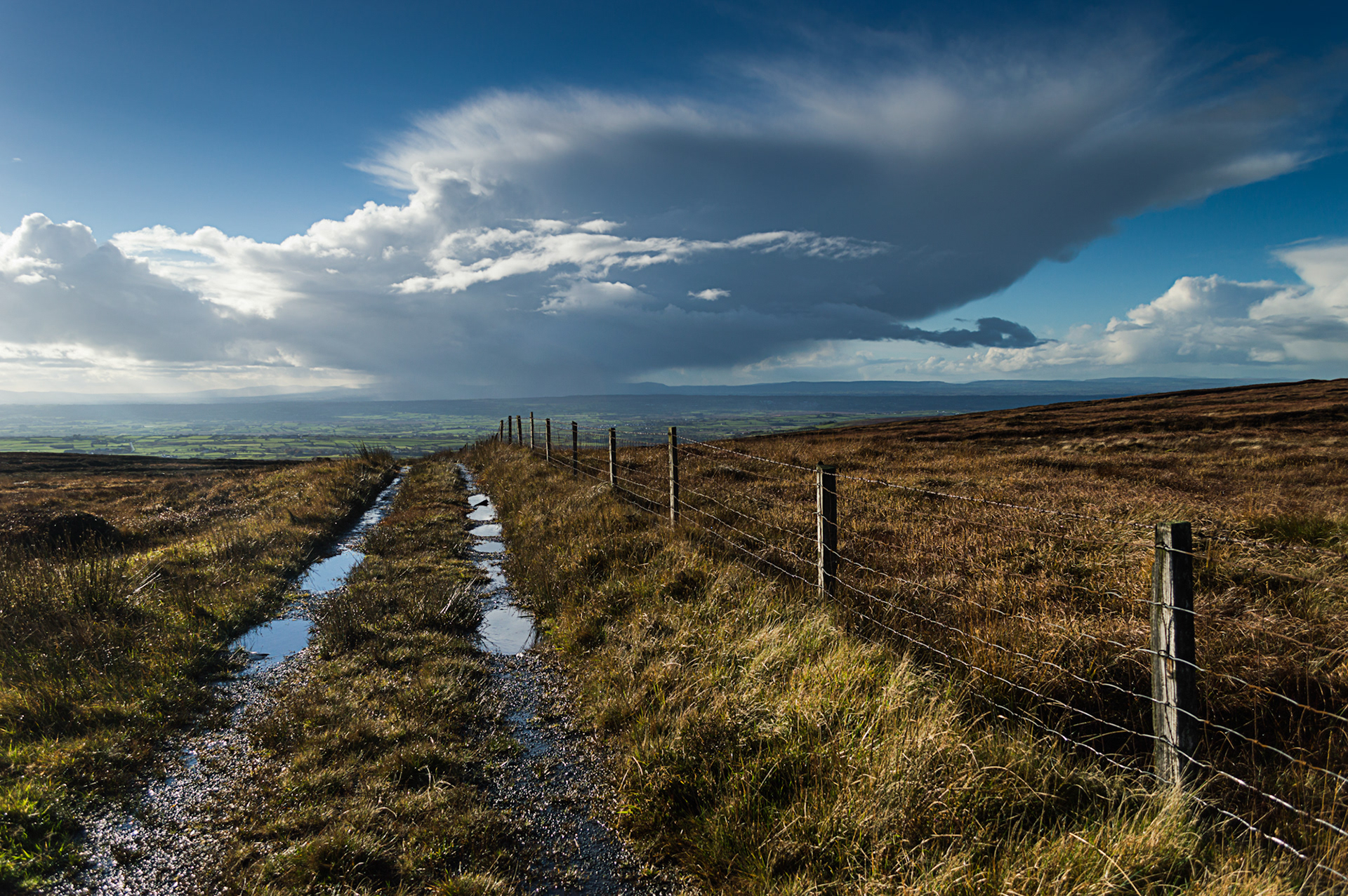
Trostan Mountain
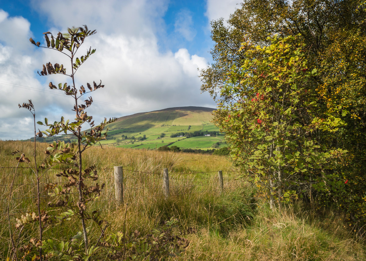
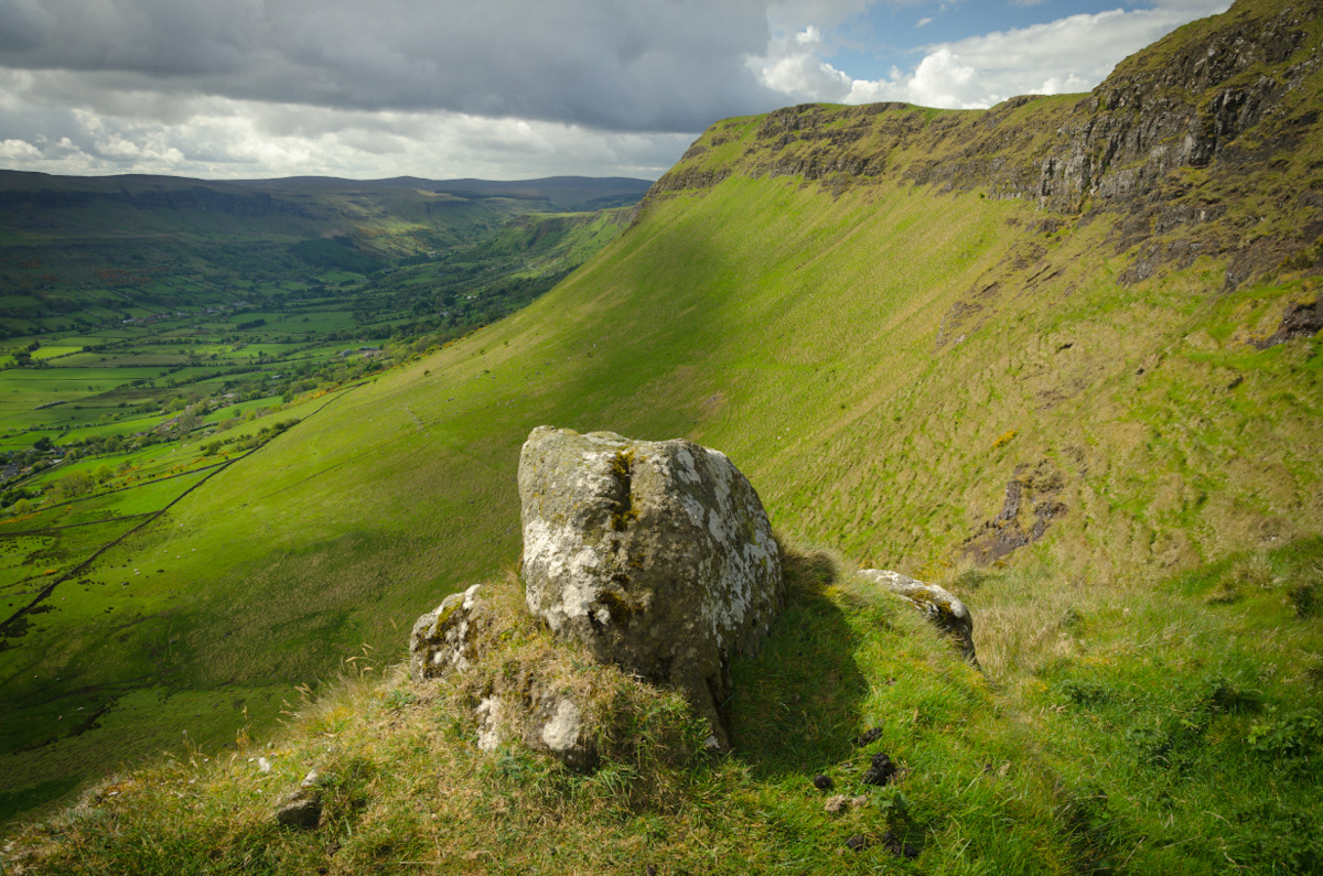
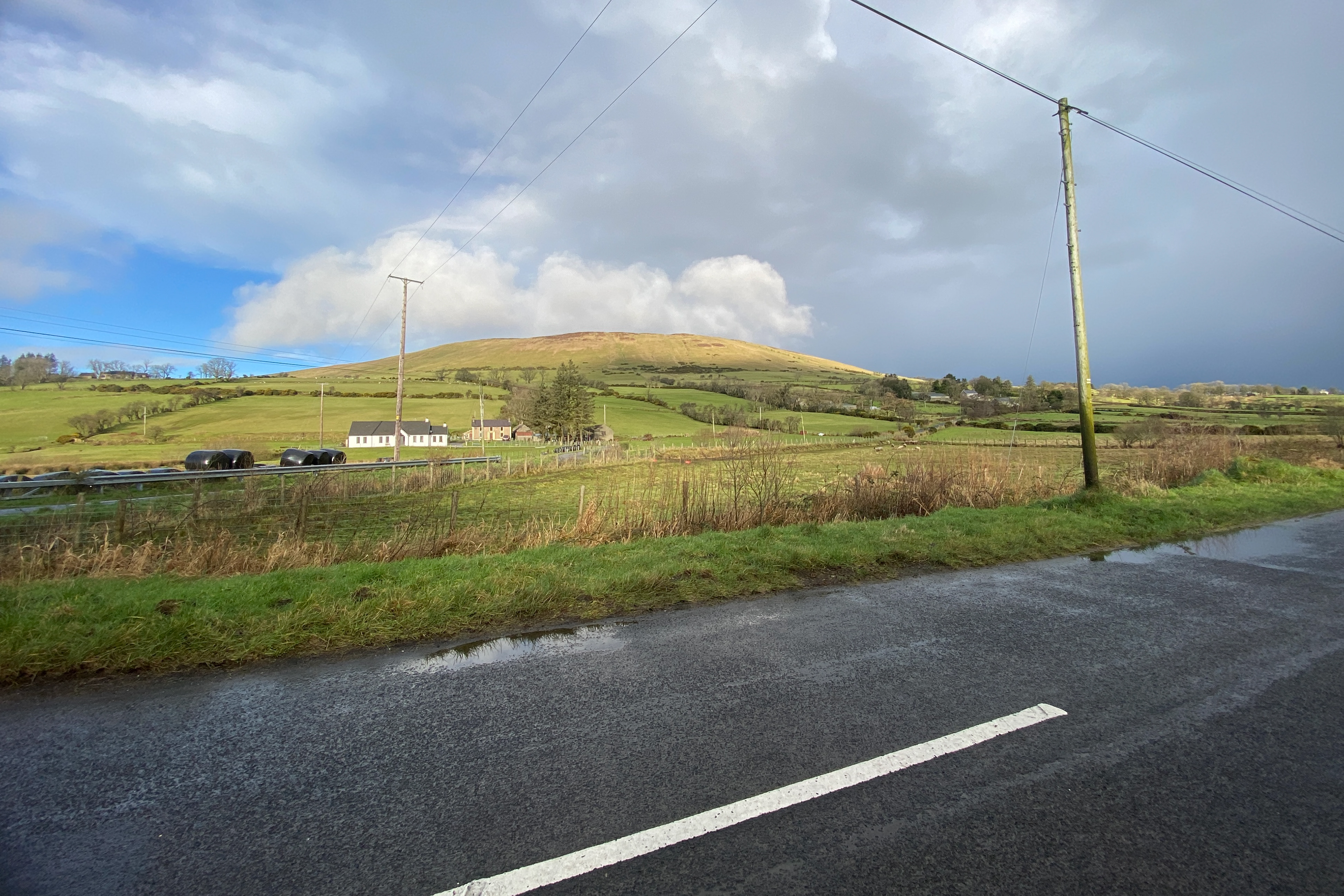
Trostan serves as the roof of the county, the highest point where the plateau finally reaches its zenith. To stand here is to look down upon the entire complexity of the Antrim landscape, a place where the air is thinner, colder, and entirely stripped of the sheltering vegetation found in the glens below. The summit is not a place of jagged drama but of immense, horizontal scale. It is a location of profound clarity, where the eye can trace the folding of the earth across to the Sperrins or catch the glint of the North Channel. It demands a level of physical endurance that filters out the casual observer, leaving the plateau to those who seek a genuine connection with the exposed, upland mass.
The ground here is a vast, saturating sponge of deep peat and resilient grasses, a surface that has been shaped by millennia of relentless weather. There is no infrastructure here, no artifice to guide the way, only the raw reality of the landscape as it exists above the clouds. It is a place that demands a methodical, deliberate pace, where one must constantly negotiate the shifting drainage and the soft, yielding earth. It is the ultimate expression of the Antrim plateau, a stark, uncompromising environment that functions as the true heart of our local wilderness.
Returning to Trostan is an exercise in grounding. In the quiet of the summit, the internal noise of modern life is silenced by the sheer weight of the geological expanse. It is here that one realizes how small the human presence truly is in the face of such a vast, ancient architecture. To record the light as it moves across these slopes is to participate in a dialogue with the weather itself, a practice that requires patience, observation, and a deep, intuitive understanding of the fragile balance between the rock and the sky.
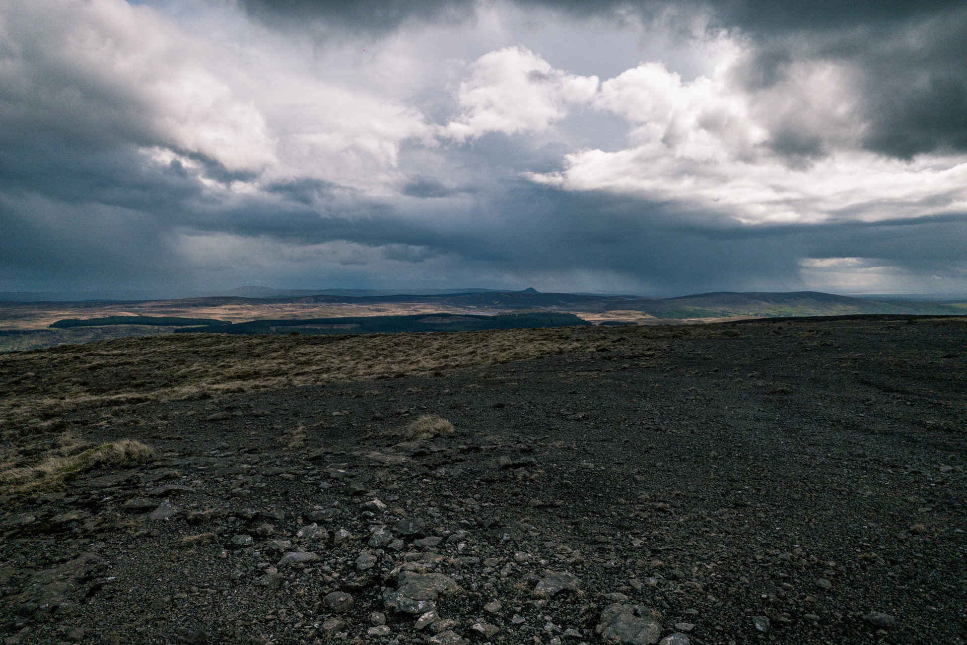
The Porcellanite Origins of Tievebulliagh Mountain
High above the Glens of Antrim, the slopes of Tievebulliagh hold a secret that dates back over five thousand years. This peak is not merely a feature of the landscape but was once one of the most significant industrial sites in Neolithic Europe. It is home to a rare outcrop of porcellanite, a tough stone formed when volcanic heat baked layers of shale and mudstone.
The ancient inhabitants of this land recognised the unique properties of Porcellanite. Unlike ordinary stone, it was exceptionally hard and could be polished to a keen, durable edge. This led to the establishment of an extensive stone axe factory on the mountainside. Archaeologists have discovered thousands of roughouts and flakes across the slopes, marking the spots where skilled craftspeople shaped the raw stone into the tools that would clear the forests of the Stone Age.
The significance of Tievebulliagh reached far beyond the shores of Northern Ireland. Axes fashioned from this specific Antrim stone have been discovered as far away as the south of England and the outer reaches of Scotland. This evidence suggests a highly organized trade network, where Tievebulliagh axes were prized as symbols of status and utility.
Today, the mountain remains a site of immense historical importance. While the landscape appears quiet, the debris of this ancient industry still rests beneath the heather, serving as a testament to the ingenuity of early settlers and their connection to the geological heart of the Antrim plateau…
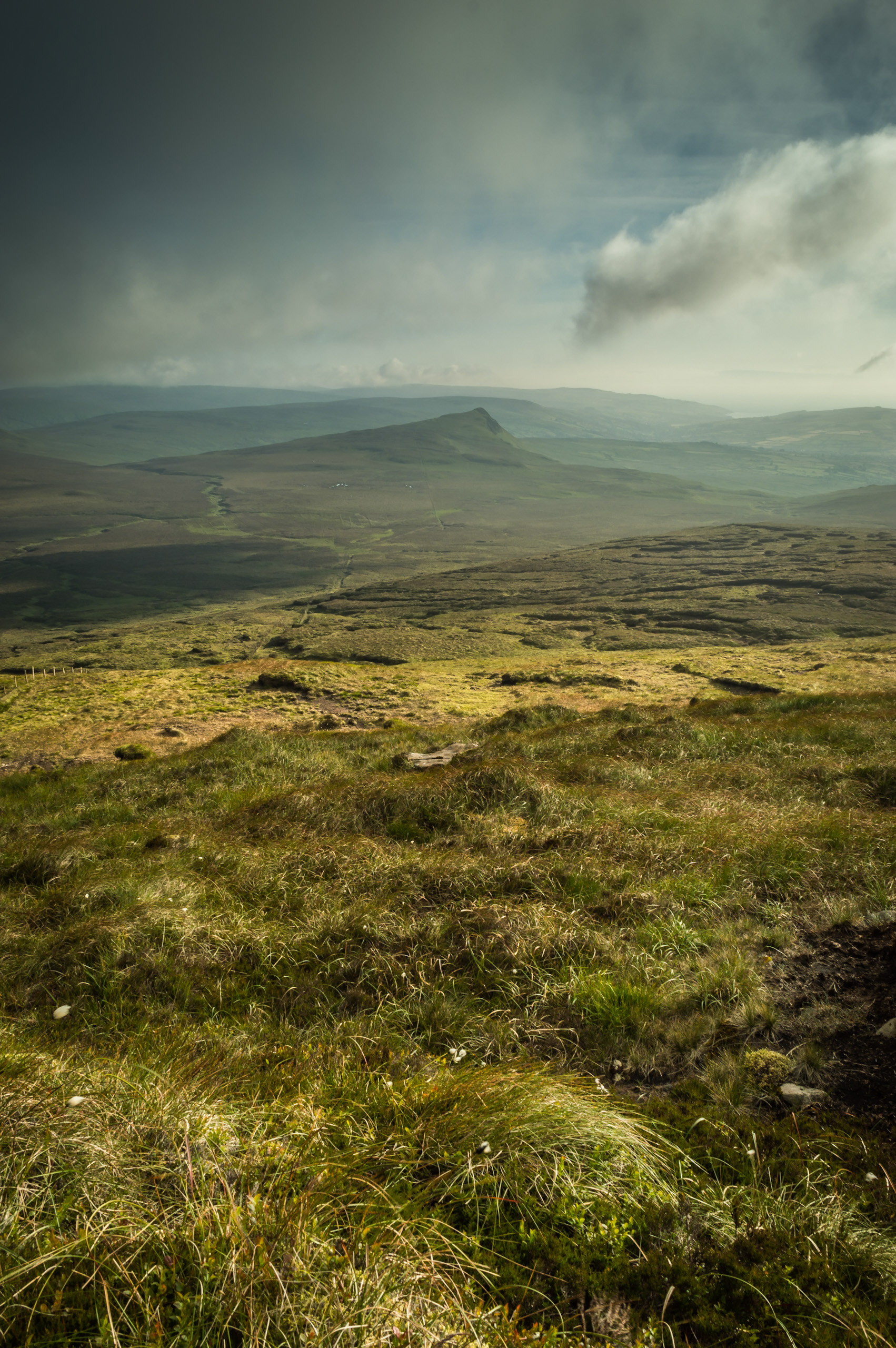
Discover The Soul Of The Antrim Hills
There is a profound joy in stepping away from the noise of the everyday to witness the vibrant, rhythmic pulse of the County Antrim landscape. When you venture out with The Antrim Rambler, you are doing so much more than walking a route; you are unlocking a lifetime of cherished geographical stories and discovering secret vantage points that remain entirely invisible to the casual walker.
Our guided danders, meanders, hikes and expeditions are meticulously curated to celebrate the most atmospheric vistas and hidden mountain viewpoints that make this corner of the world so spectacular. We find such genuine happiness in unveiling the raw, untamed majesty of our home, ensuring that every participant leaves with a bright, renewed connection to the Irish landscape.
We as a team are equally delighted by the incredible community of individuals who support our digital journey and share in our passion for the outdoors. To every follower who takes a moment to interact with our stories or advocate for our expertise, we extend our most joyful appreciation. Your enthusiasm is the vital catalyst that allows us to reach fellow adventurers and keep the spirit of authentic exploration thriving across the Glens and beyond. We are profoundly grateful for your presence in our community and for helping us celebrate the unparalleled splendour of County Antrim..
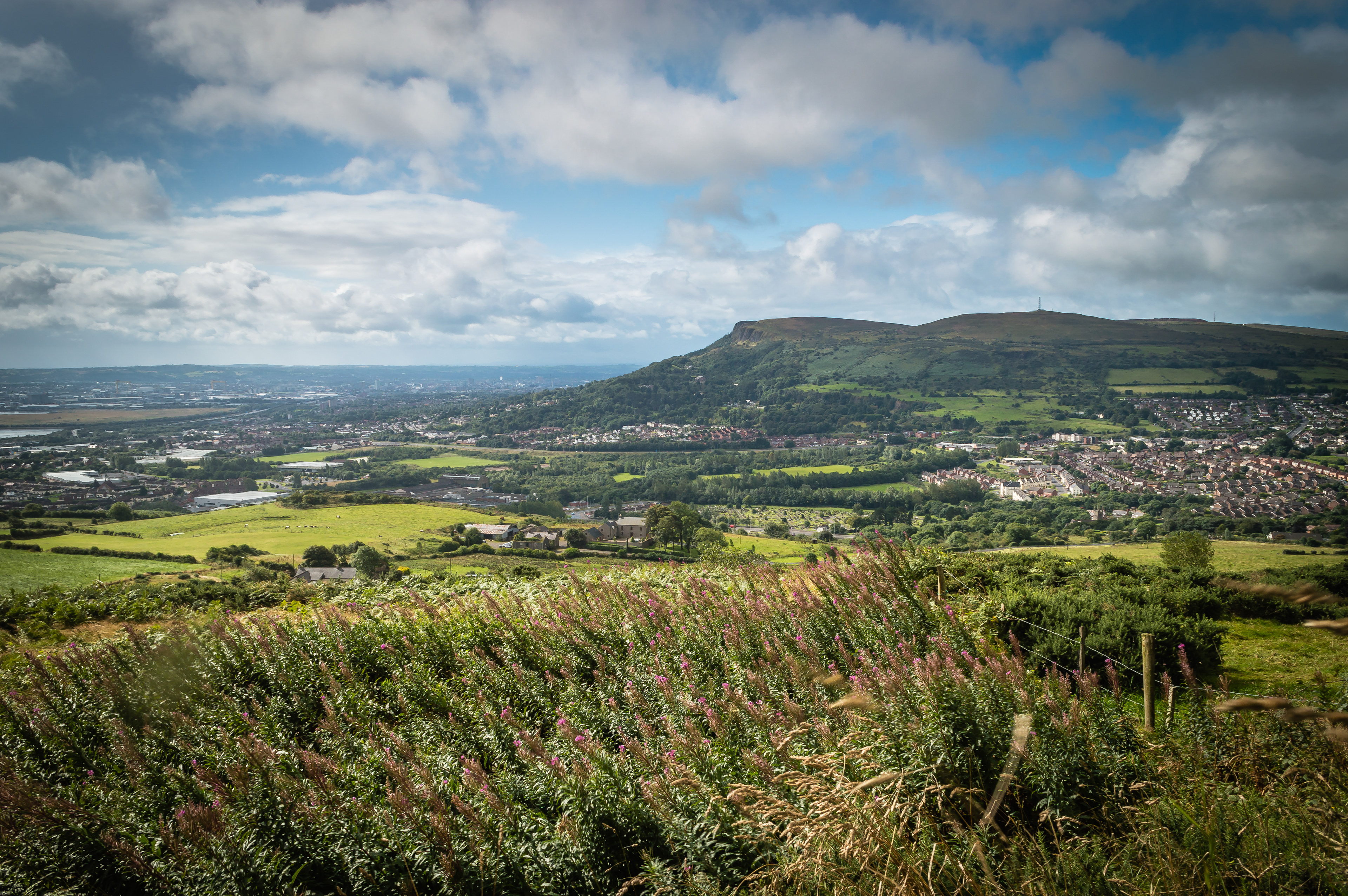
The Solace of the Shadow: Why we find peace in moody landscapes..
There is a common misconception that the best days on the hills are the ones drenched in sunshine. We are told to wait for the blue skies, the high pressure, and the warmth on our backs. But for those of us who have spent years traversing the Glens of Antrim, we know that the "perfect" day often looks a lot grimmer to the untrained eye.
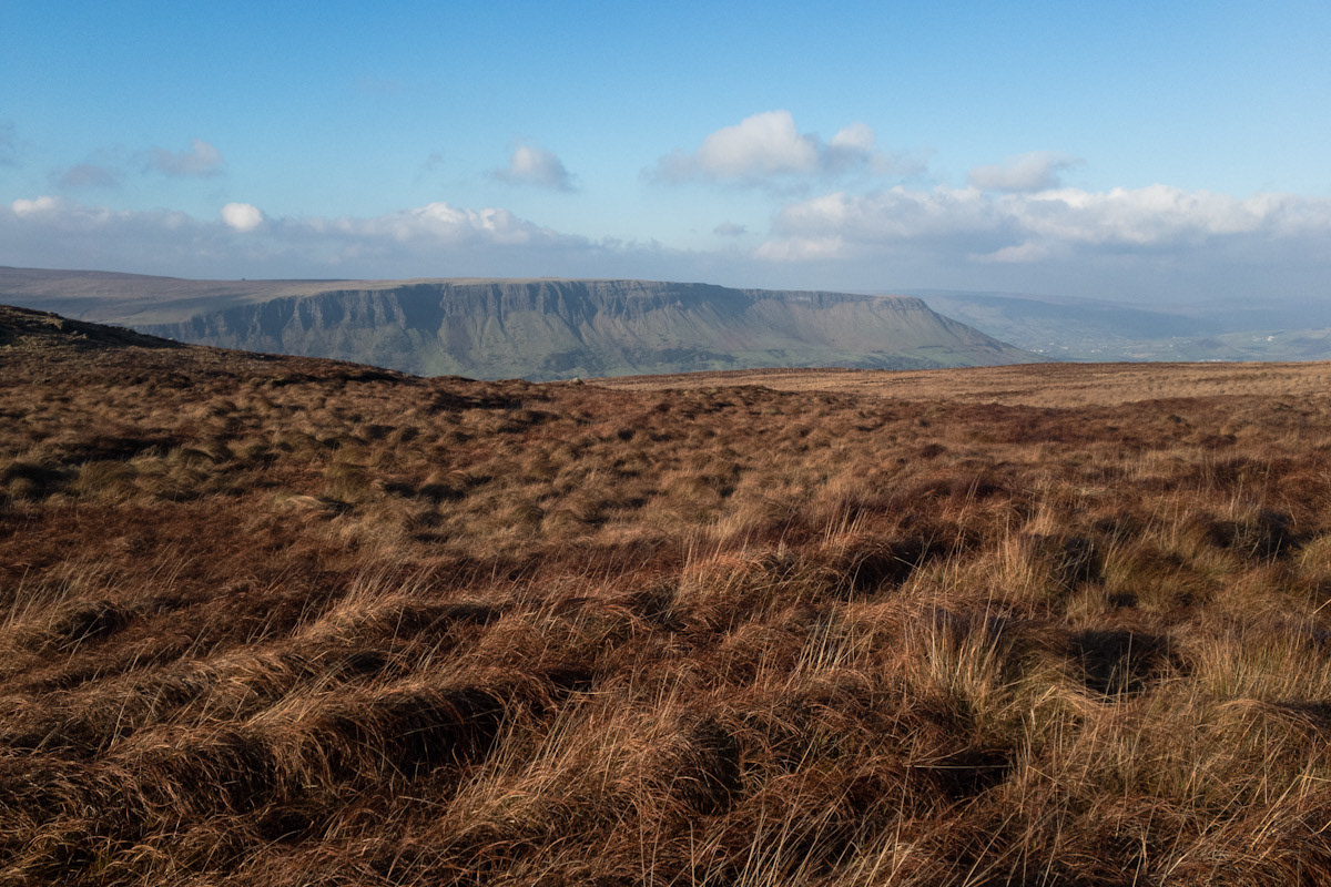
I have always been drawn to the shadow. Whether it’s the dark silhouette of Lurigethan against a bruised sky or the way the mist chokes the valleys of the Sperrins, there is a profound psychological comfort in the "moody" light.
The Psychology of the Sublime
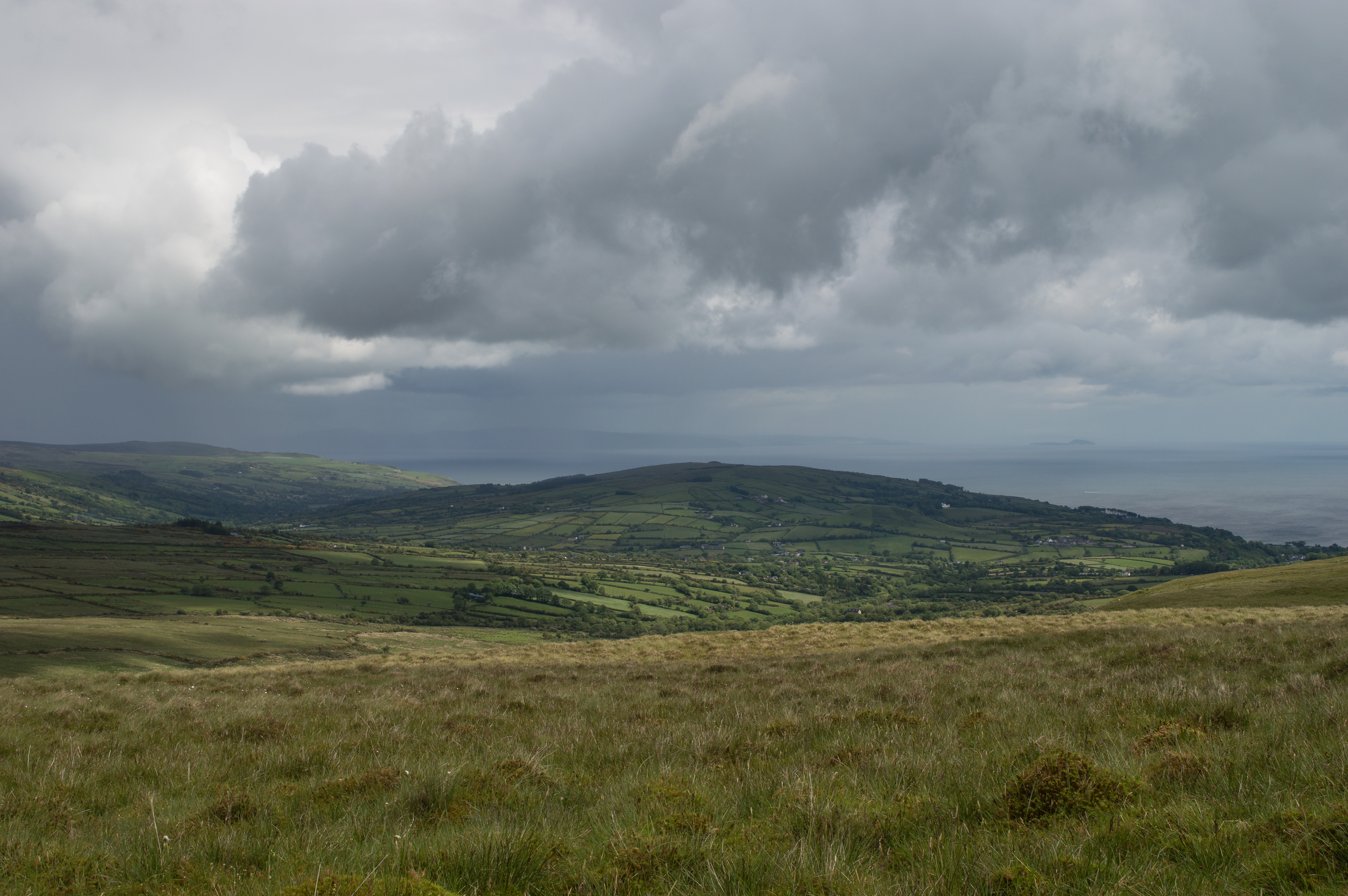
Psychologists and philosophers often speak of "The Sublime", that specific mental state where we feel a mixture of awe and a slight, healthy fear. When the clouds hang low over the Garron Plateau and the visibility drops, the world shrinks. You are no longer looking at a postcard; you are experiencing the raw, untamed power of the landscape. In these moments, the brain does something remarkable. The "noise" of modern life—the emails, the schedules, the constant digital buzz—is silenced by the sheer scale of the environment. The moody light demands your full attention. It forces you to be present.
A Mirror for the Mind
We don't just take "dark" photos for the aesthetic. We take them because they mirror the complexity of the human experience. Life isn't always lived in high-definition sunshine. We all have our seasons of mist and shadow.
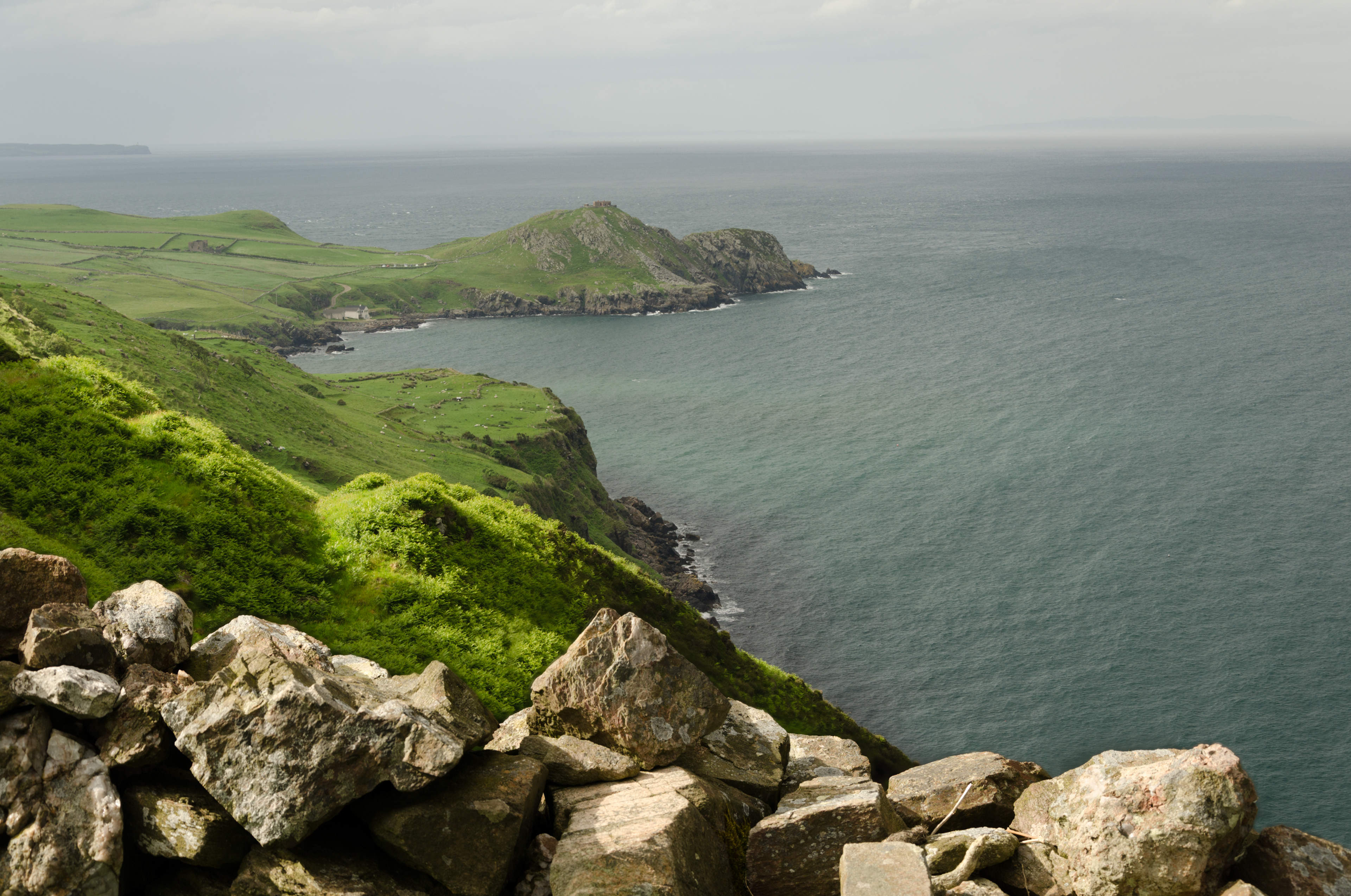
When I look through the lens at a storm breaking over the North Coast, I see resilience. I see the "anchor" that this landscape has been for me through twenty-five years of change. There is a strange solace in seeing a mountain stand firm while the weather rages around it. It reminds us that we can do the same.
The Beauty in the Bleak
Next time you see the clouds rolling in over the Antrim Hills, don’t turn back to the car. Step into the shadow. Notice how the colours of the heather become more vibrant under a grey sky. Notice how the silence feels heavier, more deliberate.
There is peace to be found in the moody light. It isn't a lack of beauty; it is a deeper, more honest kind of beauty. It’s the kind that doesn't just ask to be looked at, it asks to be felt.
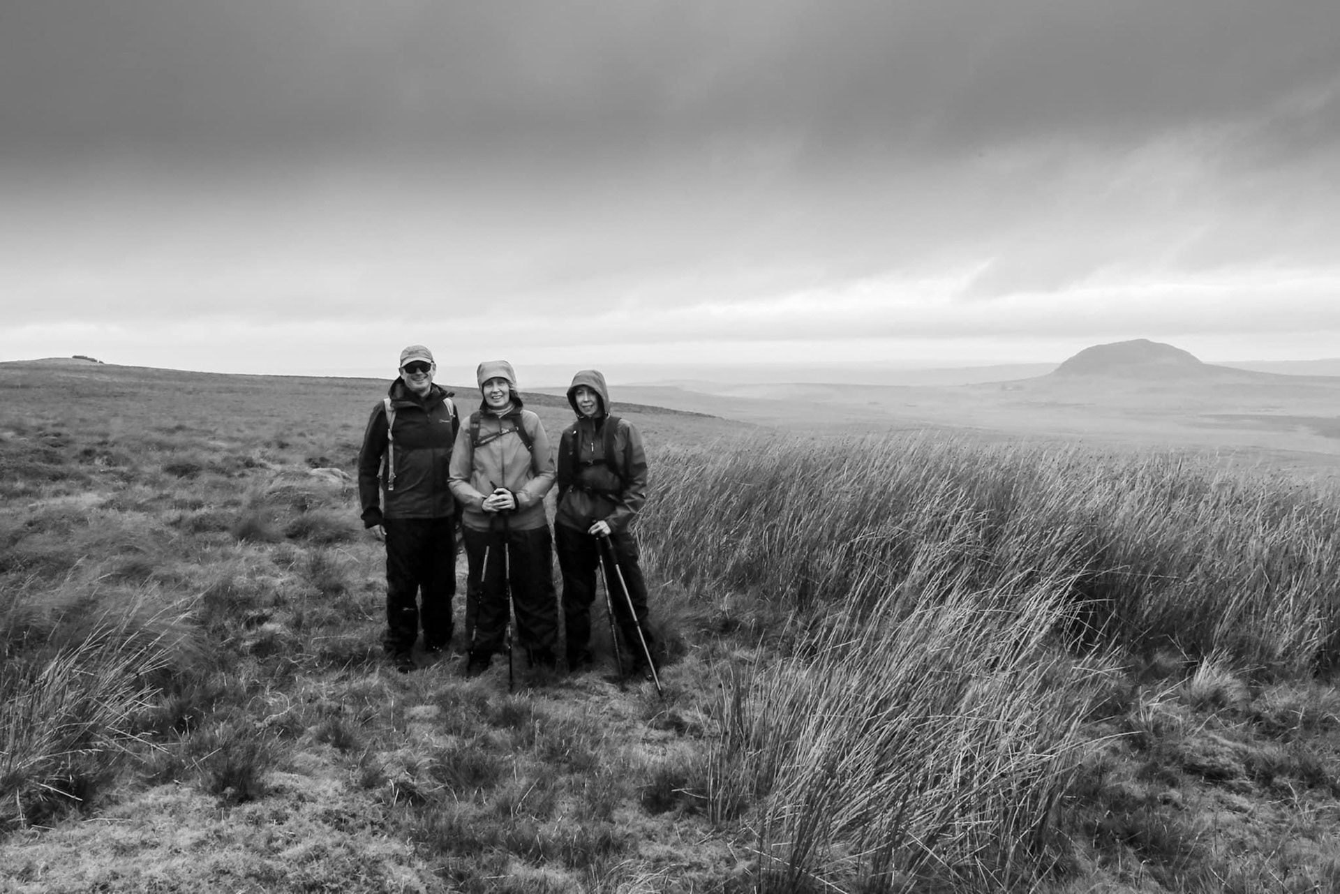
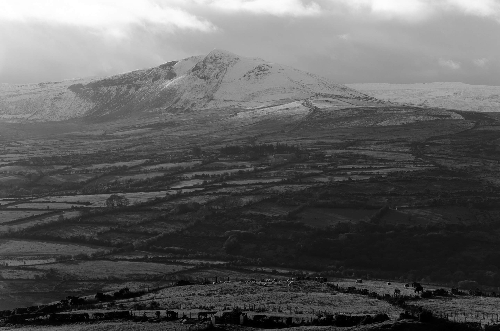
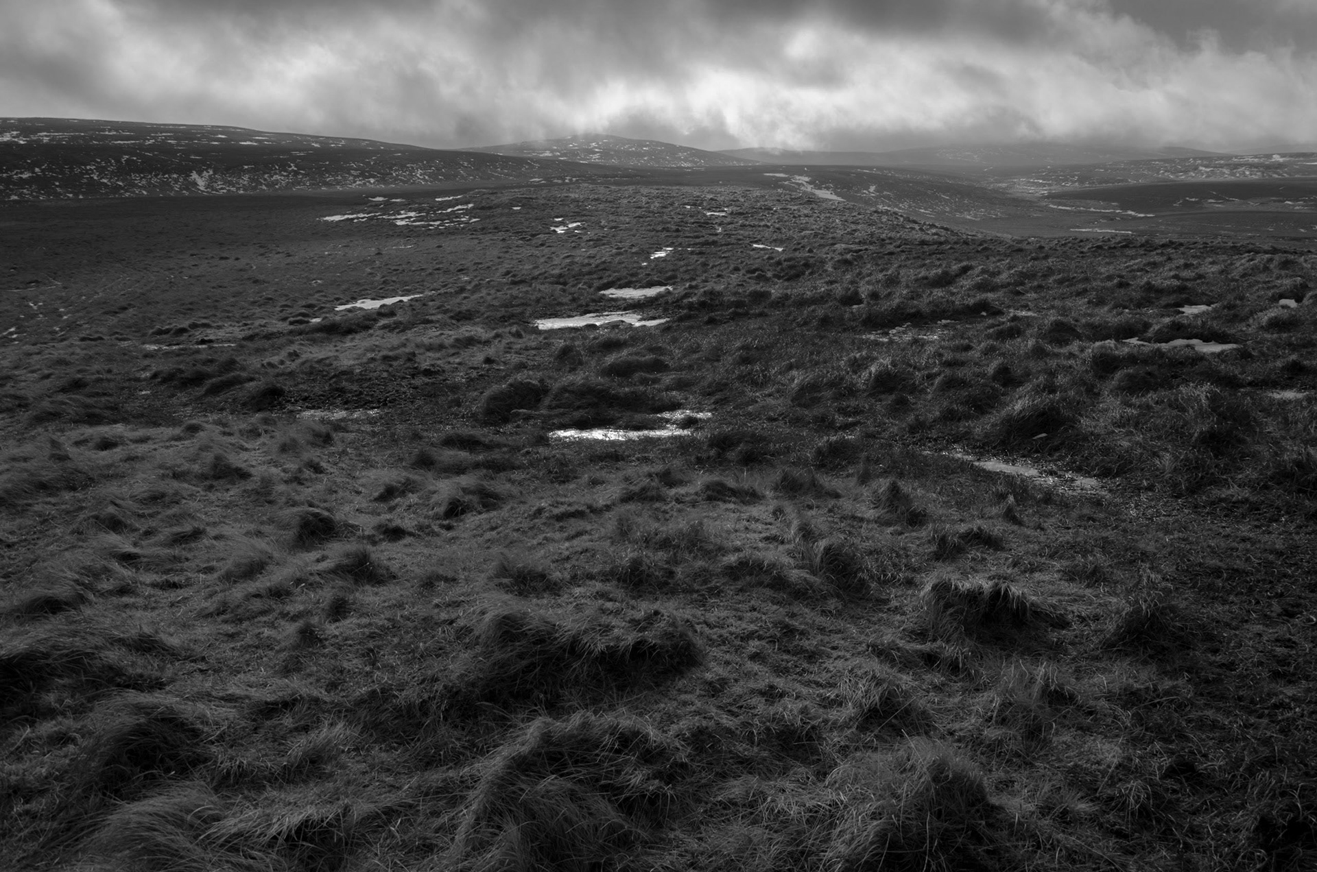
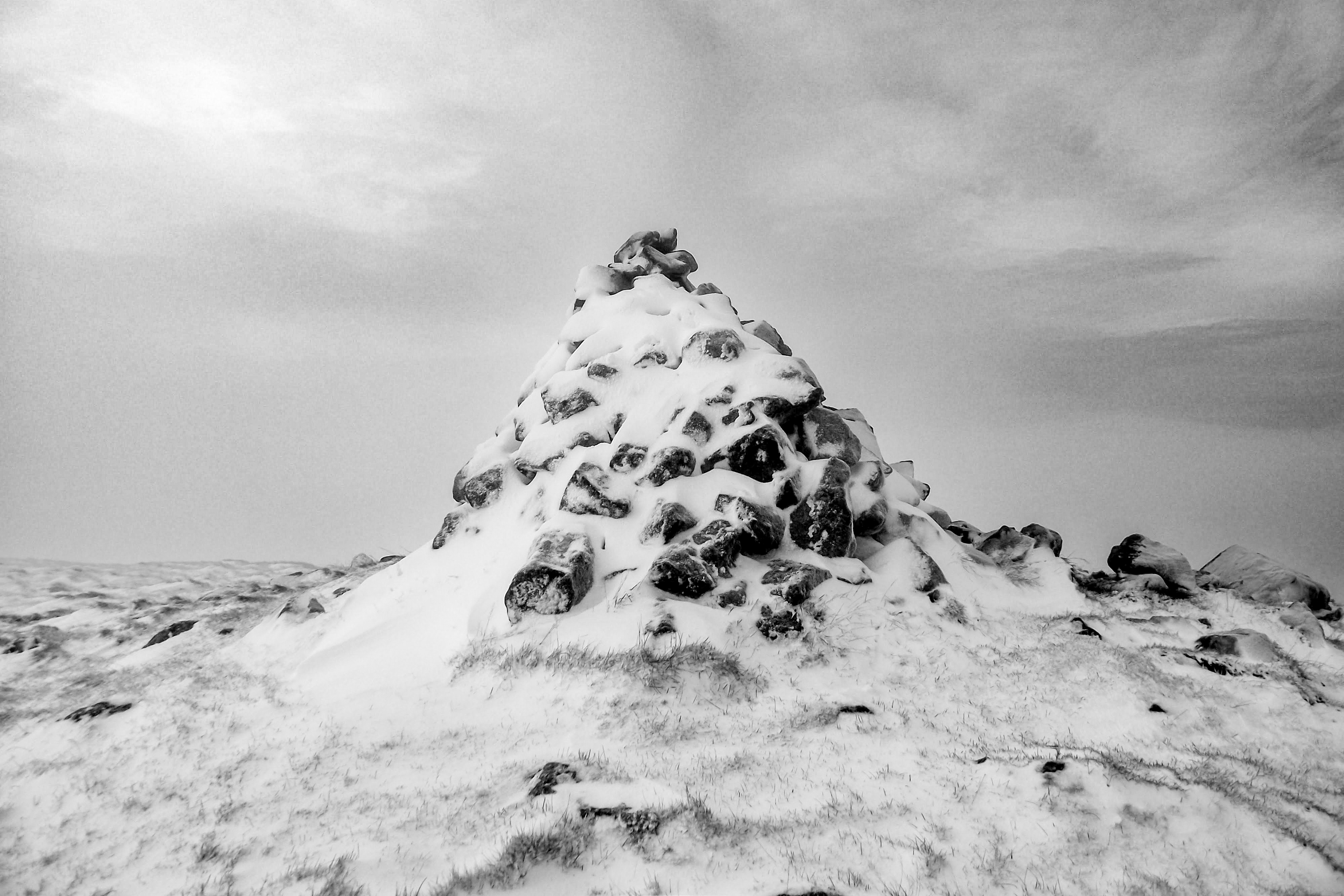
The Walking Cure
I have found that the most effective remedy for the noise of modern life is the simple rhythmic movement of a long walk. When I step out into the silent valleys of the Glens I am looking for more than just fresh air as I am seeking a physiological reset that only the "walking cure" can provide. As I put one foot in front of the other the steady cadence of my stride begins to quiet my mind and the frantic pace of my daily schedule starts to dissolve into the landscape.
I find that walking through these ancient spaces allows for a type of mental decompression that I cannot achieve anywhere else. In the quietude of the valleys my senses are no longer bombarded by digital distractions and instead I become attuned to the wind through the heather or the distant trickle of a stream. This state of soft fascination is where I feel my cognitive fatigue lift and my ability to focus return.
The physical test of the terrain is a vital part of this process for me as my body engages with the natural rise and fall of the land. Whether I am taking a gentle stroll along a country road or a more demanding trek toward the heights of Lurigethan the movement grounds me in the present moment. By the time I see the North Channel and the silhouette of Ailsa Craig appearing on the horizon I usually find that the weight of my stress has been replaced by a profound sense of clarity.
For me stepping out into the wilder parts of County Antrim is an intentional act of reclaiming my own mental space. The hills provide a sanctuary where the rhythm of my walk becomes a bridge back to a more balanced version of myself. I have learned that when a problem feels too complex to solve the best thing I can do is leave it behind and start walking. Do you want to start your own walking journey?
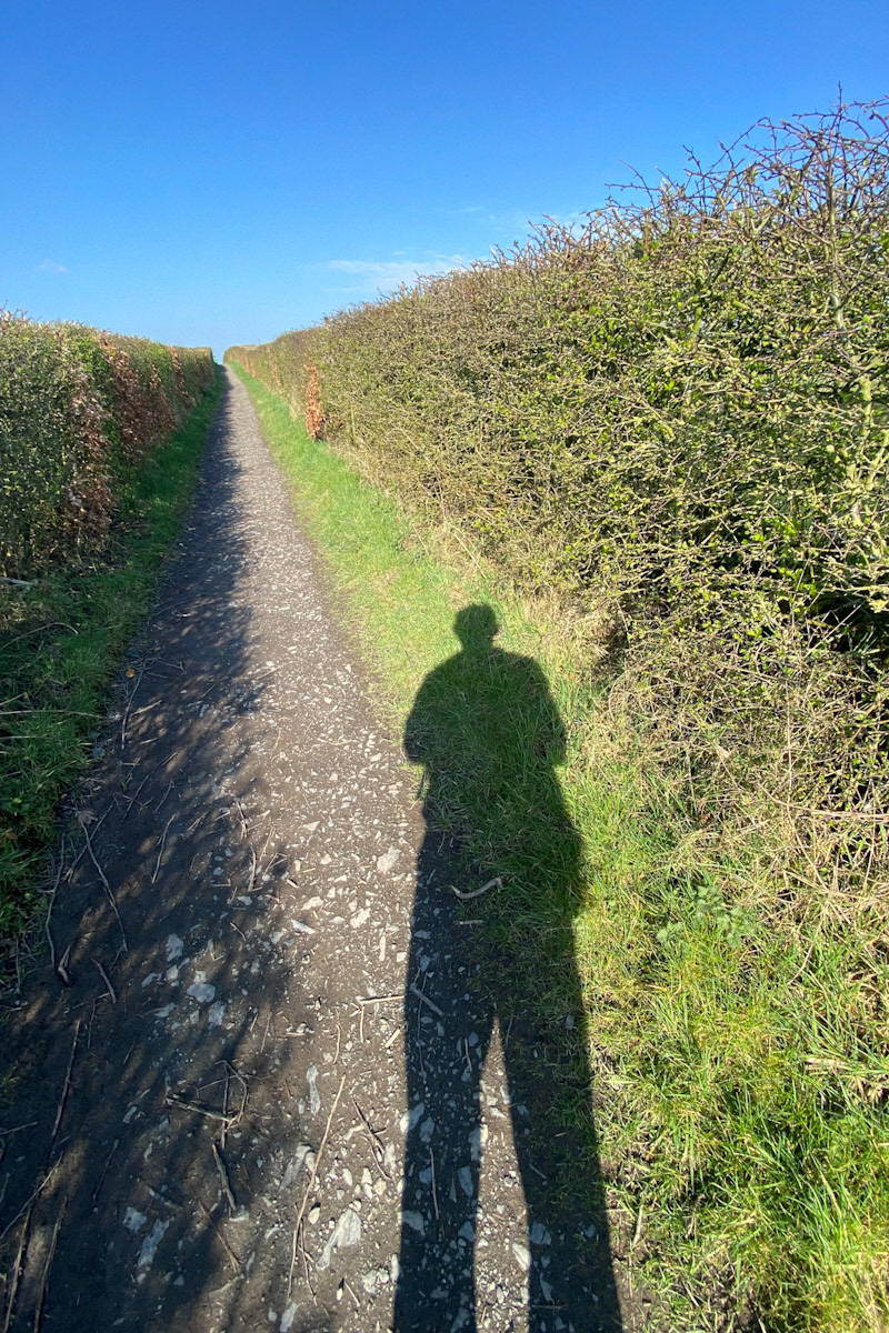
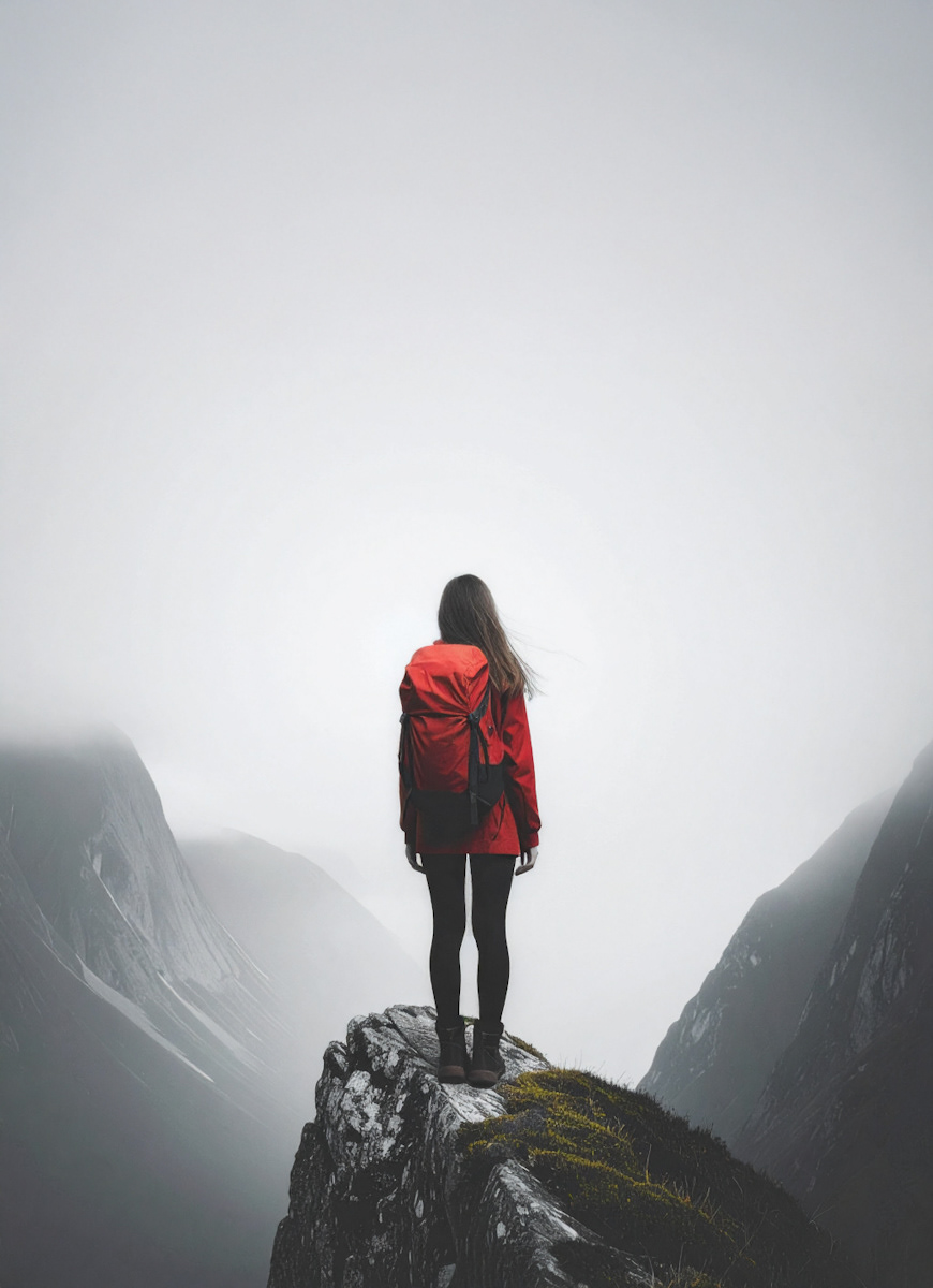
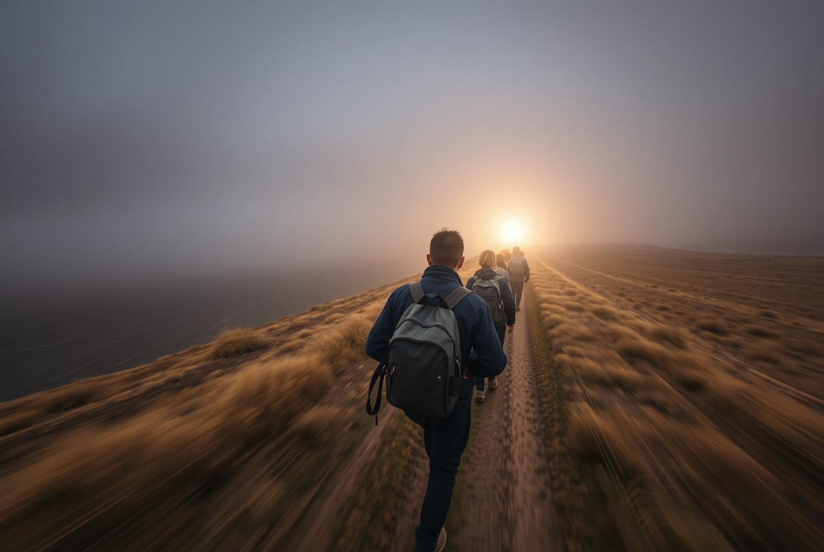
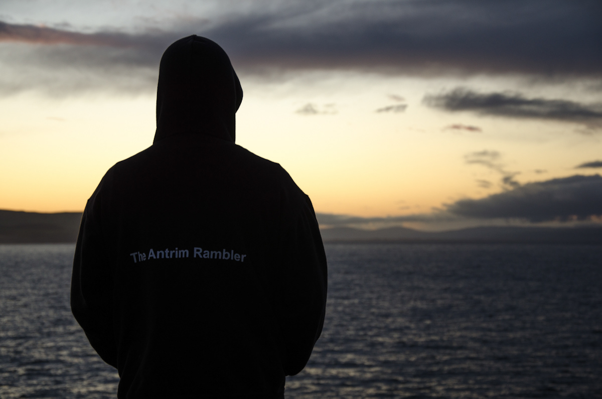
Image Packs
In the last few months I’ve been very surprised to have inspired multiple new artworks and this got me thinking about how I could help other creators. So we are now launching The Antrim Rambler Image Packs..
As you know the rugged beauty of the Island of Ireland has always been a source of inspiration for my photography, and now I want to help you turn that inspiration into art. I am delighted to announce that my first professional image packs are now available for direct purchase, specifically curated for artists looking for high-quality references.
These packs feature the dramatic light and unique textures of our local landscape, from the steep slopes of Lurigethan to the crashing waves of the North Channel. Each collection is designed to provide you with the perfect foundation for your artworks, curated with the specific needs of a creator in mind.
By purchasing directly, you are supporting my work in the hills and gaining access to high-resolution files that celebrate the spirit of County Antrim and beyond. I cannot wait to see how you interpret these scenes and bring our favourite landscapes to life through your own artistic lens.
The Price: £15 per pack. Contact us for details..
The Bundle: Get any three packs for just £40!
What You Get: High-resolution digital image packs, each containing 12 stunning images, curated by me, The Antrim Rambler.
License: Each pack is licensed for Personal Use Only. Perfect for your device screensavers, digital backgrounds, and printing your own personal wall art. Also highly suitable as reference images for other artworks you may create like paintings etc..
Discover your favourite view and bring the spirit of the island of Ireland into your space today.
Available Subjects
• Antrim Coast
• Antrim Hills
• County Antrim Black and White
• County Antrim Colour
• Glenariff Forest Park
• In The Trees
• Lurigethan Mountain (A favourite of mine to photograph!)
• Signature Selection
• Unseen Ulster
Contact Us: hello@theantrimrambler.com
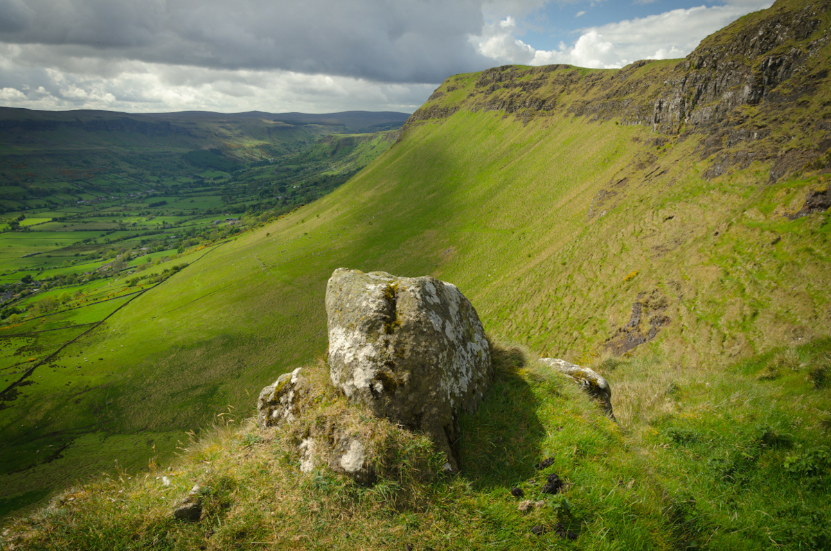
How I Grew as a Hillwalker
The growth I have experienced as a hillwalker has changed my life. It was never about reaching an arbitrary level of fitness; it is about the constant, humbling expansion of our skills, pushing past your comfort zone, and your connection with the wild places, wherever you find yourself. My progression has generally followed three distinct stages:
The Enthusiastic Beginner
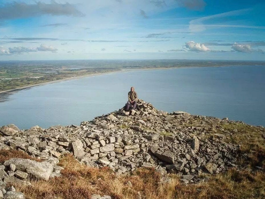
I started with a massive amount of enthusiasm and a simple objective: reach the summit or finish the goal. The initial excitement was so high that frankly, I did not care about the weather and went anyway. If the forecast called for a downpour, I simply pulled on my waterproofs and went. The focus was purely on the physical push, and the walks were mostly on popular mountains
The Competent and Confident Walker
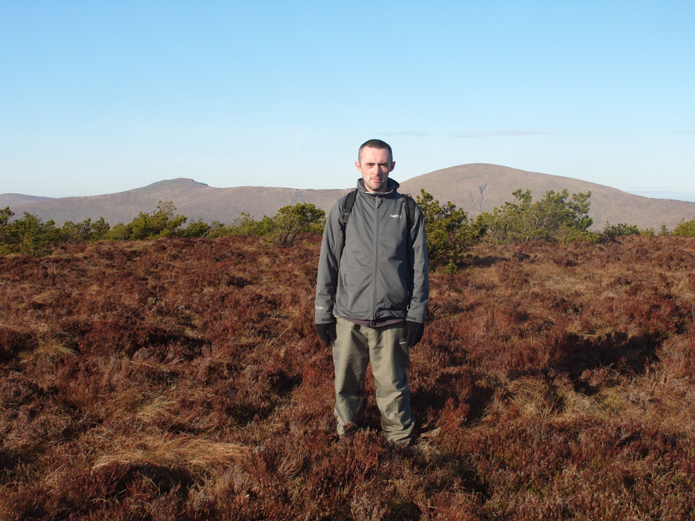
This is where the real growth happened, the pivot from recklessness to competence. I stopped relying on sheer will and started to rely on my own knowledge. I invested time in learning how to read the landscape. I gained the confidence to venture into more remote areas, tackle more challenging off-trail terrain, and, critically, manage the inevitable bad weather safely. This stage is all about competence, making the tactical decisions that turn a dangerous situation into a rewarding challenge. According to mountain training principles, building your skills progressively, especially navigation, is key to developing independence in the hills.
The Experienced Observer
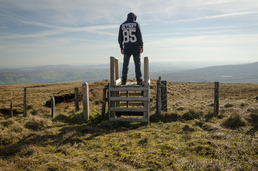
Now, my focus has shifted from conquering a hill to simply experiencing it. The primary goal is no longer just the summit; it is the quality of the journey, the light, the silence, and the feeling of being immersed in nature. I can now manage my pace, read the terrain to avoid unnecessary effort, and anticipate how the weather will change with precision. The mental benefits are immense: being outdoors is proven to reduce stress and improve mood. This stage is less about adding new skills and more about refining existing ones, like efficient movement on uneven ground, and appreciating the deep mental benefits of disconnecting from technology to fully engage with the landscape.
My continuous growth as a hillwalker is a reflection of the mountains themselves, always changing, always demanding respect, and always offering a new perspective. If this growth appeals to you and you want to try hillwalking in Northern Ireland for the first time please check our listings..
More Than a Walk, It’s a Steeplechase
I have been thinking about how I would define my walking style a lot lately: what my walks often turn into is less of a walk and more of an upland steeplechase. Now, don’t get me wrong, I am not racing against the clock or jumping actual hedges. But the definition of a steeplechase is a cross-country race over a course with obstacles, and when you apply that to the kind of remote, wild terrain I seek out on the island of Ireland, it fits perfectly.
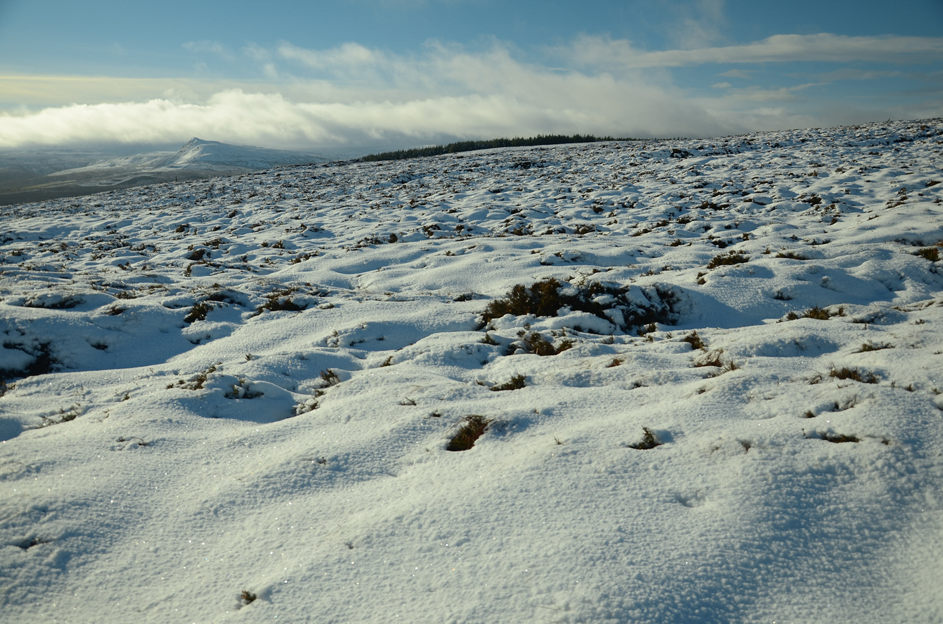
My walking routes are absolutely an obstacle course designed by Mother Nature. I traverse uneven ground, scramble over the kind of tussocky heather that tries its best to catch a boot, and navigate rocky outcrops that demand a moment of careful thought before placing my weight. I hop across small streams, negotiate muddy sections that try to swallow an ankle, and clamber up steep slopes that are guaranteed to give the calves a proper workout.
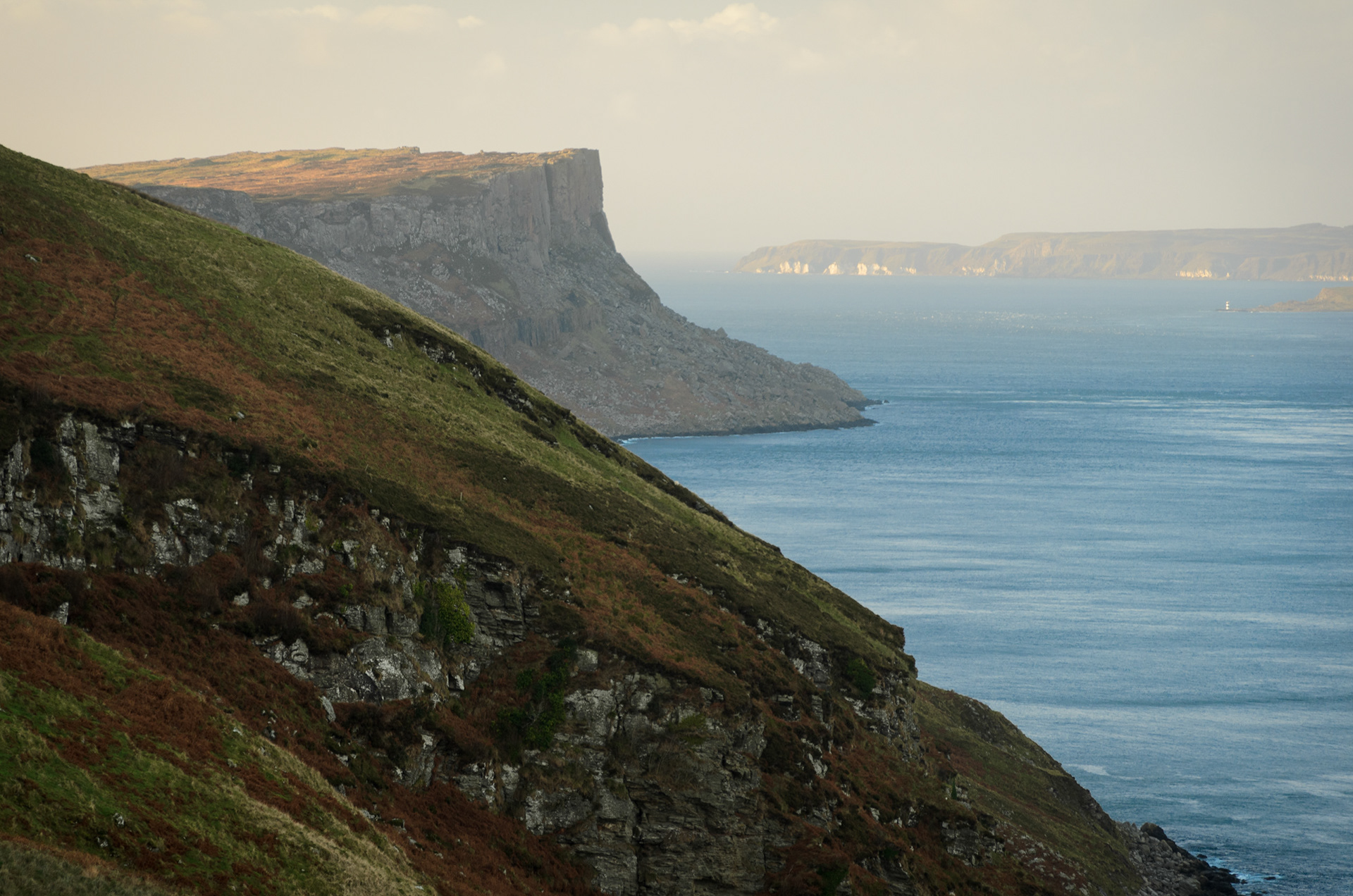
Every step is a small, tactical decision. There is no room for anything else. It is the antithesis of a pavement stroll. It is this element of challenge, this constant engagement with the landscape, that makes these routes so rewarding.
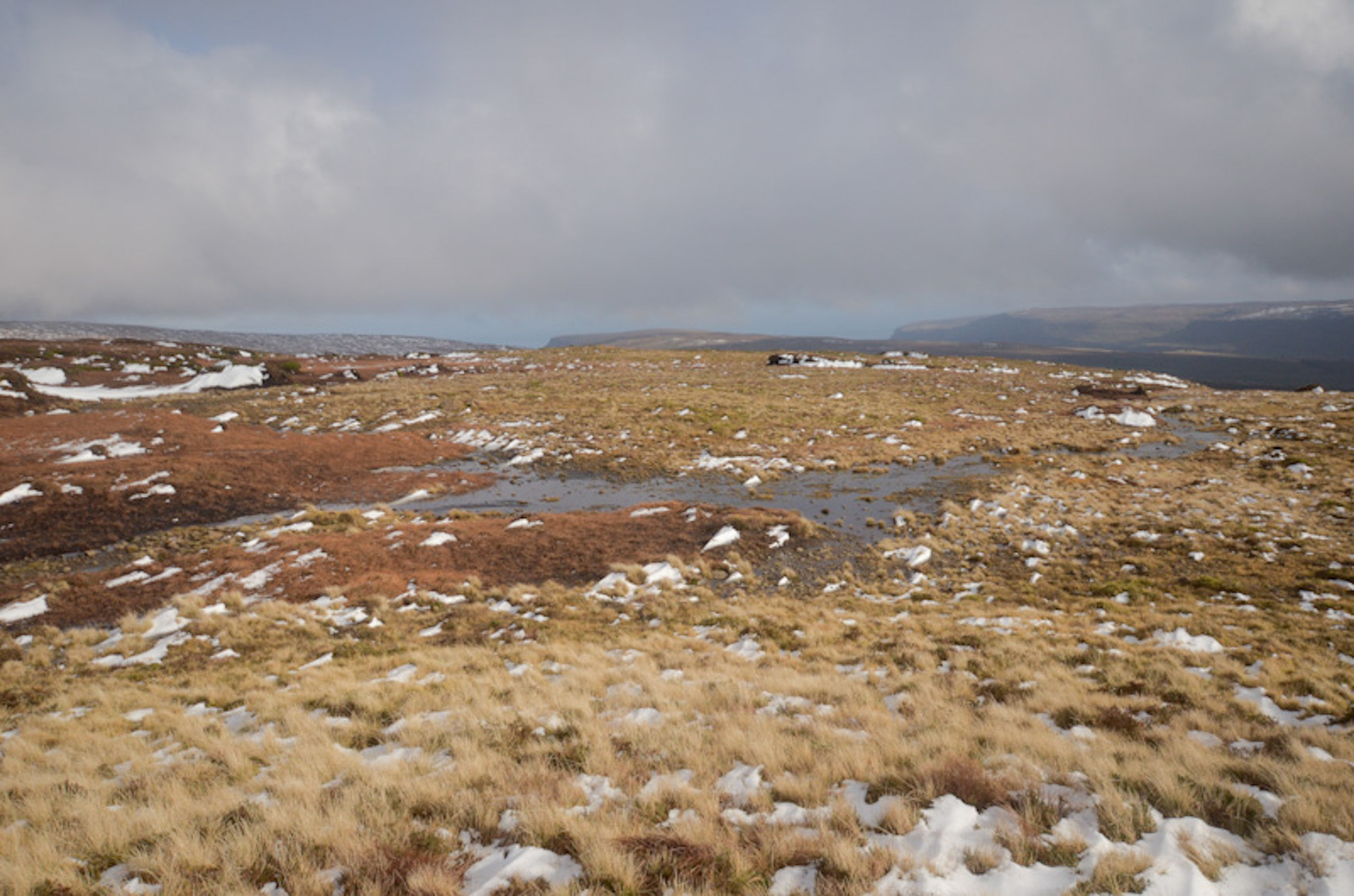
When I reach the summit after conquering those natural hurdles, the sense of accomplishment is tangible. It is not just about the view, glorious as it is, but about the knowledge that I have earned it, steeplechase-style. It is a full body, full mind immersion in the wild terrain in all weathers. That is why I call my experience a personal steeplechase: a challenging but incredibly rewarding experience, not just a walk..
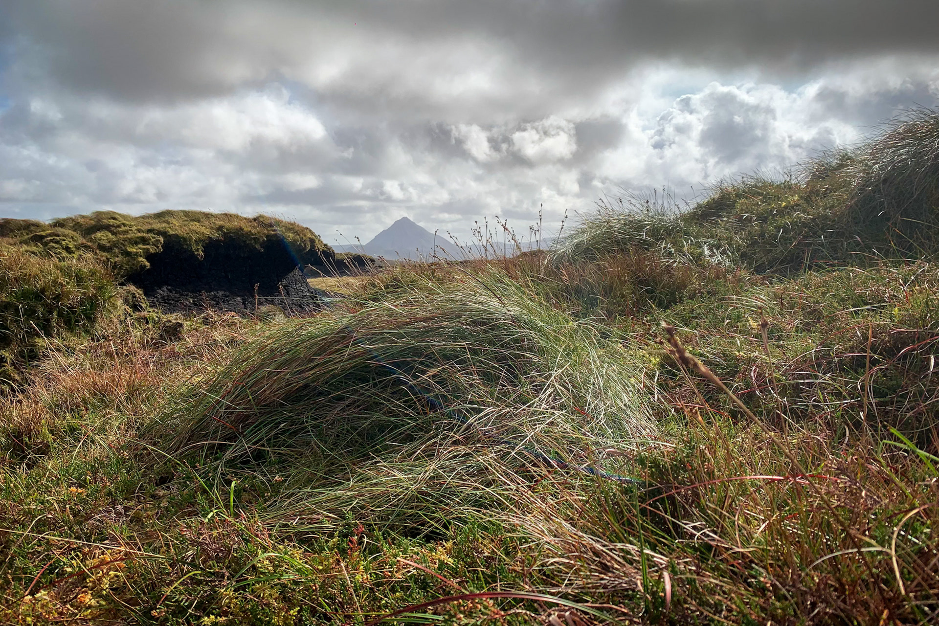
How would you describe your hiking/hillwalking style? Slow, steady, calm or chaotic? Random, unplanned or mission like?
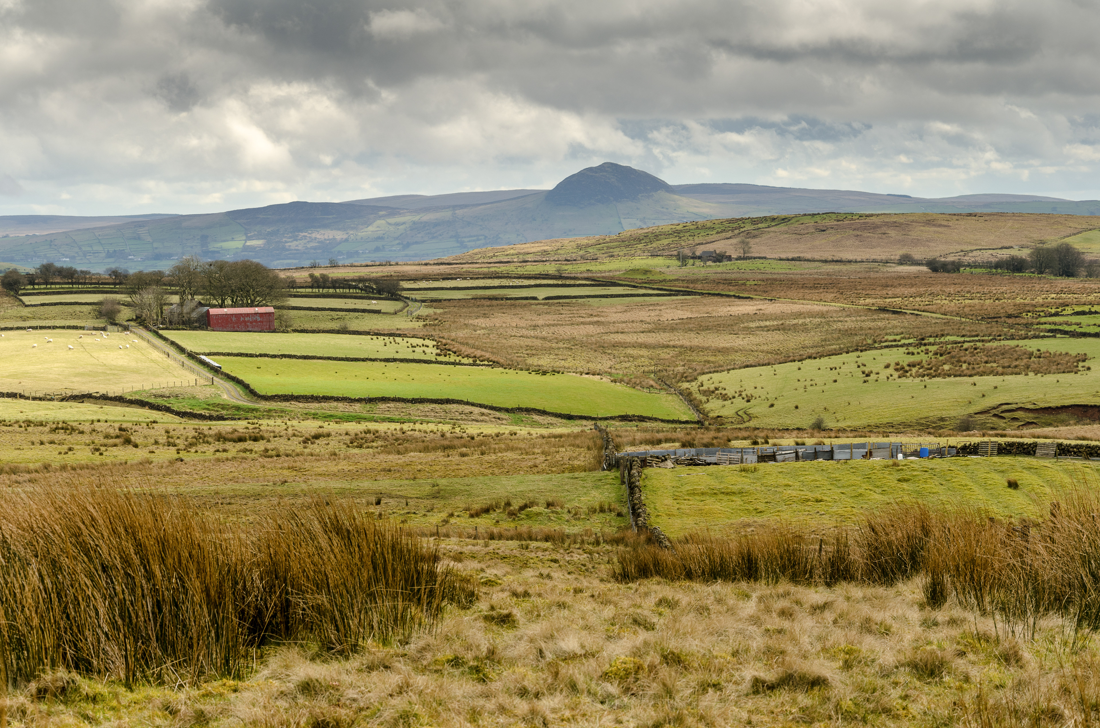
More Than Just a Walk: Exploring Ireland's Hidden Soul with The Antrim Rambler
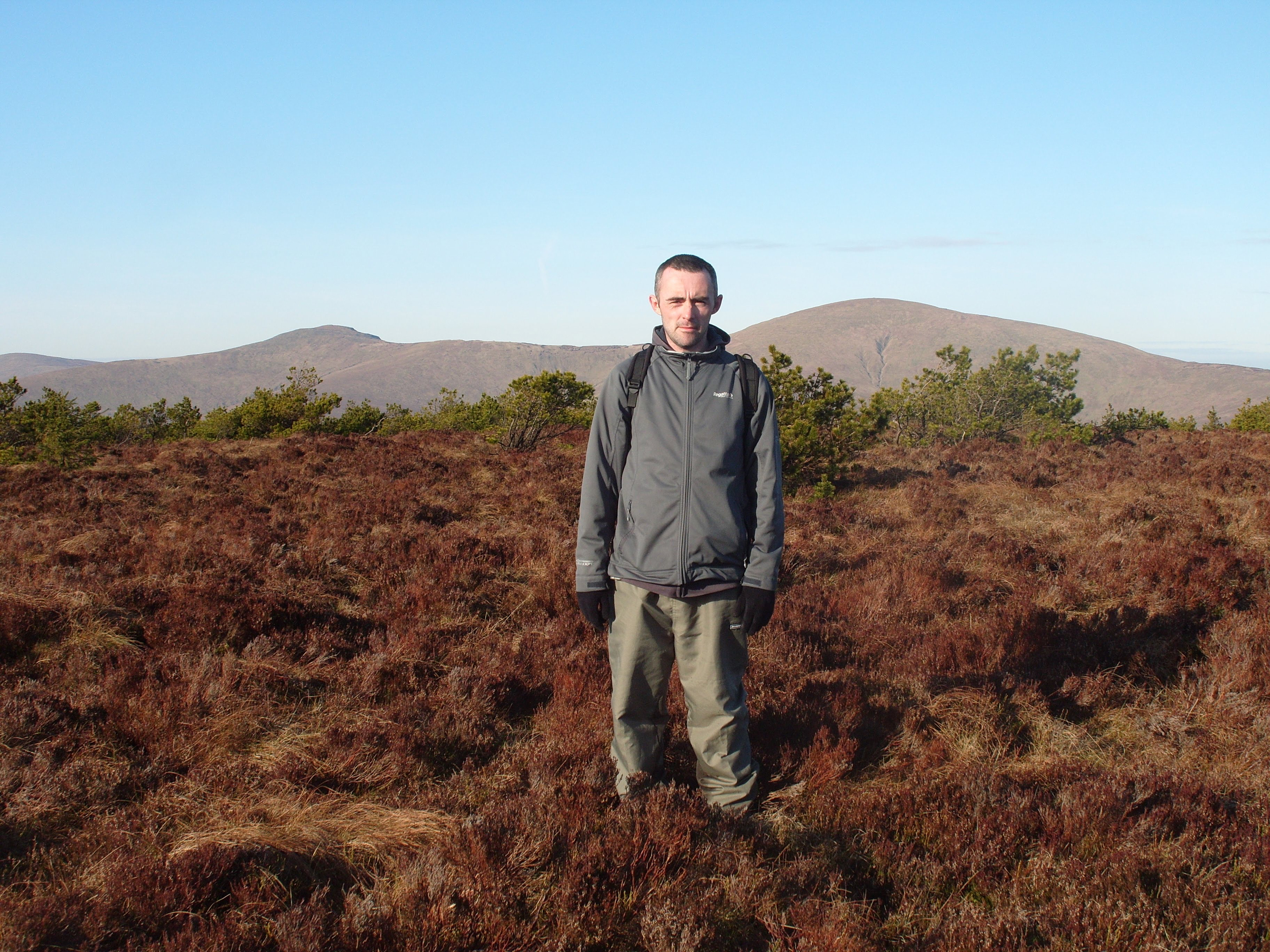
Welcome! My name is Nicholas McBride, and if you’re here, you likely share the same profound and perhaps slightly obsessive love for the Irish landscape that I do.
Some people might call me a hiker or a photographer, but for 25 years, I've simply been a Rambler. I've walked more of Northern Ireland than anyone else alive, ever. I know the shortcuts, the secret views, and the moments when the light hits a mountain just right to make it feel moody, strange, and entirely unforgettable.
The Audience Is Ireland
My mission, and the mission of The Antrim Rambler, is simple: to share that intimate, unfiltered experience of this land.
This space isn't just for hillwalkers and seasoned hikers. While we welcome everyone, our audience is truly anyone who loves Ireland. It doesn't matter if you’re chasing a peak or simply dreaming of the coast from the other side of the world; if the sight of a mountain crest meeting the Atlantic sea sends a shiver down your spine, you’re in the right place.
We’re not focused on ticking off trails; we’re focused on the soul of the journey.
Why We Ramble Differently
I grew up on the North Coast and every bit of this land, from the basalt columns of the Antrim Coast to the inspiring heights of Lurigethan Mountain, feels like home. This is where I find my arty dark side coming out in my photography, chasing that perfect, dramatic shot.
This deep, personal connection is what sets our guided walks (led by the legendary Cecil Stirling) apart. We don't just point out landmarks; we connect with the quiet history, and we encourage you to see Ireland not as a tourist destination, but as a living, breathing character.
What you can expect from this Journal
* Behind the Lens: My favourite photography spots, behind the scenes..
* The Rambler’s Journal: Stories and reflections from a lifetime of walking, from my earliest days on the North Coast to the wilder parts of the Donegal Mountains..
* Northern Ireland’s Hidden Gems: The routes and views that aren't plastered across the postcards.
We hope you can follow us on this journey..
Contact Us: hello@theantrimrambler.com
Find Your Edge: Guided Walks Across Northern Ireland's Majestic Peaks
Are you ready to elevate your health, fitness, and total wellness? Join The Antrim Rambler for unforgettable guided walks and top-tier hillwalking experiences across Northern Ireland's most inspiring landscapes.
We specialise in taking you off the beaten path, from the dramatic cliffs of the Antrim Hills to the wild, untouched beauty of the Sperrin Mountains. Challenge yourself by ticking off the revered northern County Tops with our experienced guides. Our tours are carefully curated to blend the physical exhilaration of hiking with a deep appreciation for Ireland's incredible scenery.
Whether you are a seasoned hiker or a newcomer to the hills, our antrim hills guided walks and other adventures offer a unique chance to connect with the landscape, boost your well-being, and discover why this country is so loved by a global audience. Walk with us and feel the difference..
For Private Guided Walks please get in touch. Some of our more popular private guided walks are Lurigethan Mountain, routes designed around those people that want to do the county tops such as Trostan, Sawel and Errigal and the many beautiful places you can see from all the Irish hills of County Antrim and beyond..
Our regular guided walks are on Eventbrite..
Contact Us: hello@theantrimrambler.com